Where we went
We spent a week in Sachsen-Anhalt exploring the Neolithic monuments of the Himmelswege in the Halle (Saale) area.
We chose a hotel in Merseburg, which was centrally located for our trip.
In theory, the trip should have taken 4.5 hours, but in practice, it took longer—especially since we brought our bicycles..
Why we went
A few months ago, I discovered the himmelswege.de website while researching the Nebra Sky Disk. The site also introduced me to the Kreisgrabenanlage Pömmelte, which we had heard of, as well as Schönebeck and Goseck, which were new to us.
Since many of the sites appeared cyclable, we booked the hotel and set off.
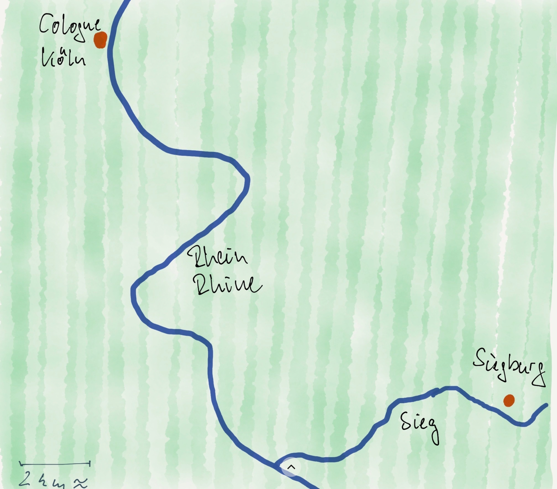
The itinerary
The map
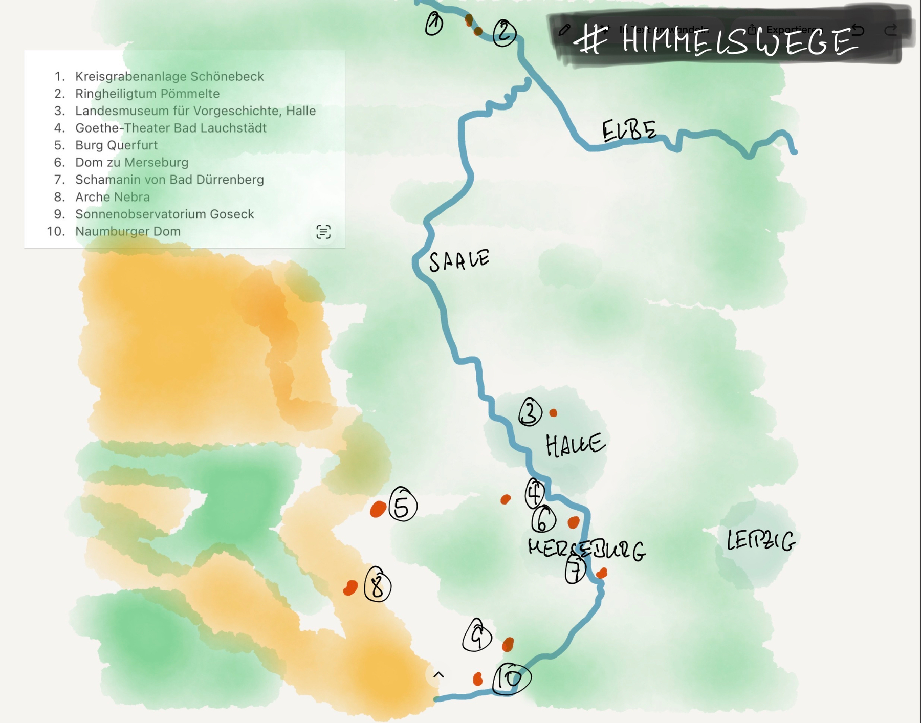
The yellow parts of the map are mountains.
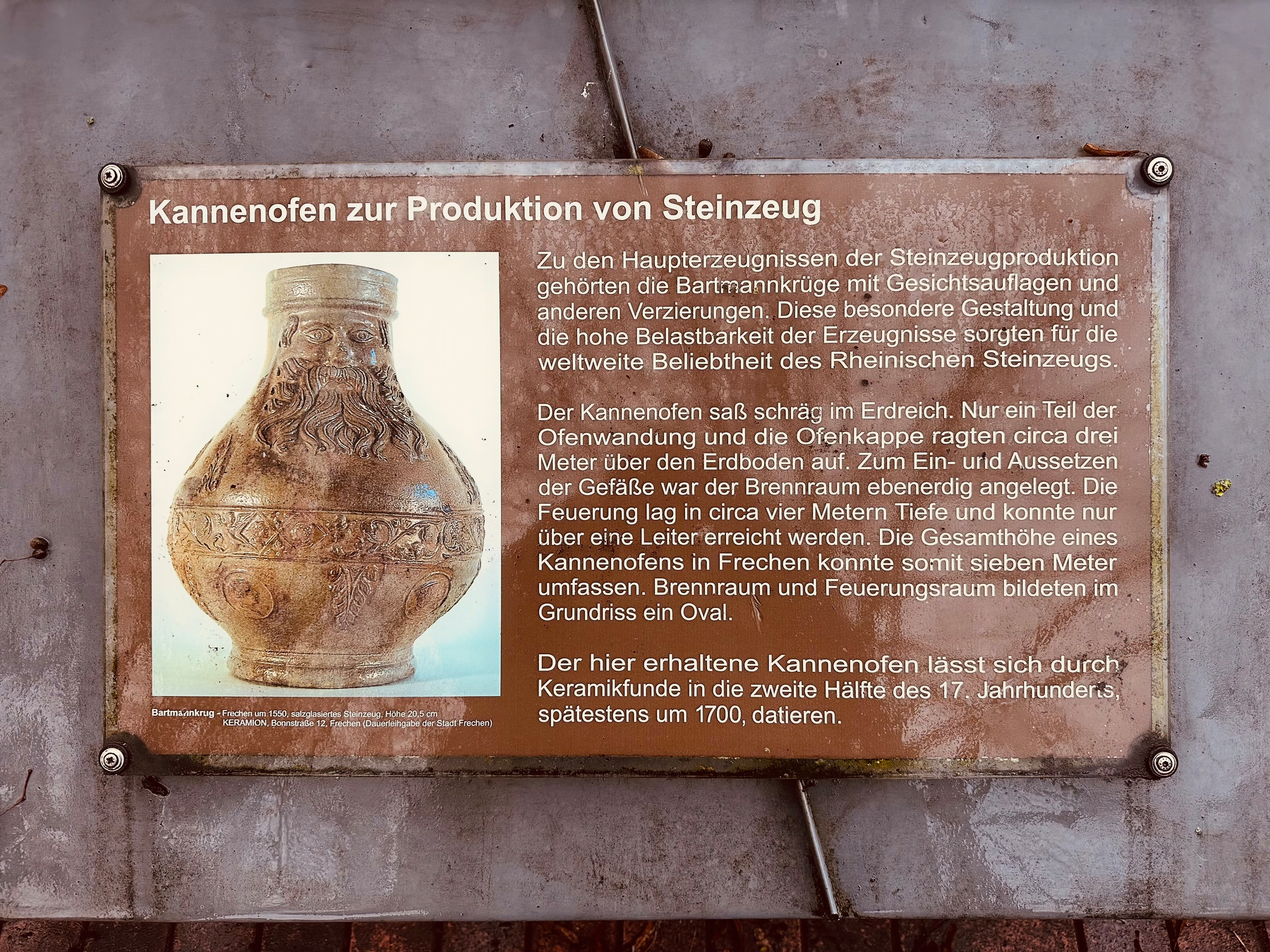
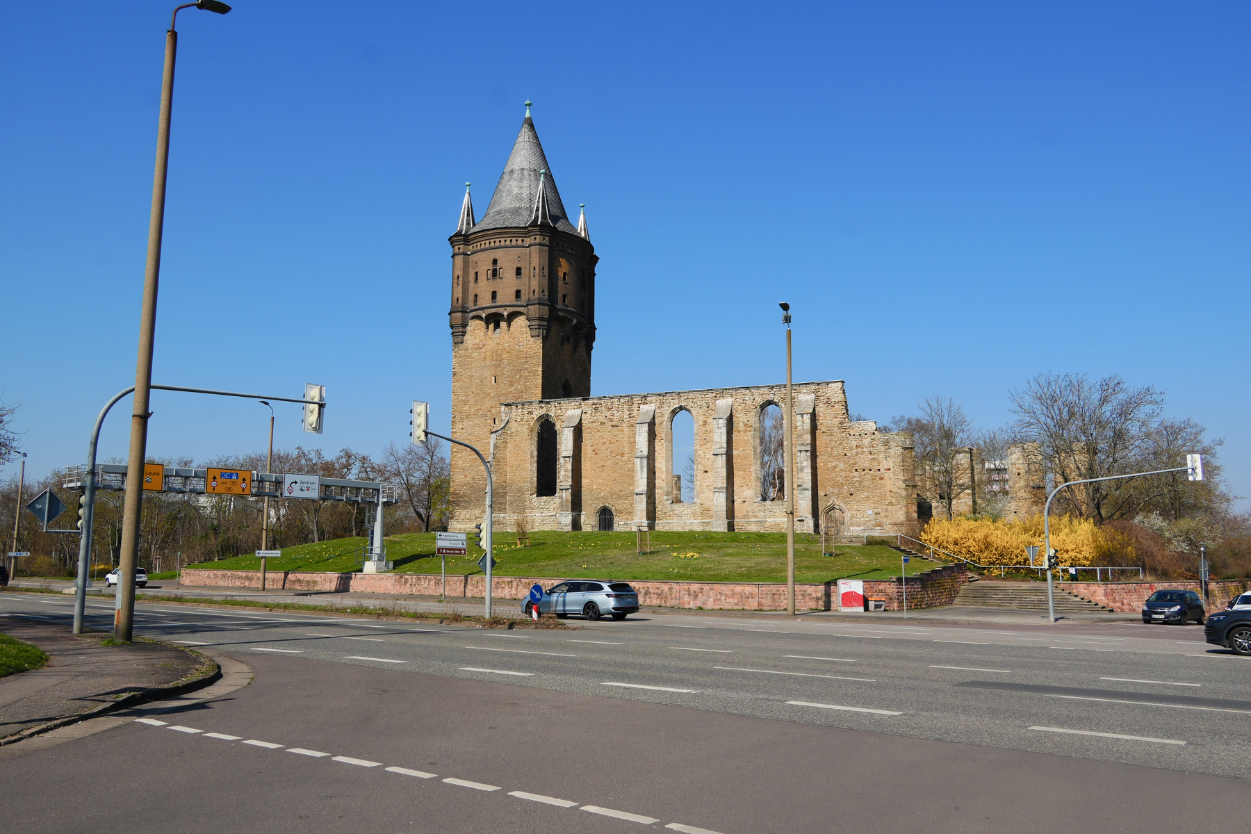
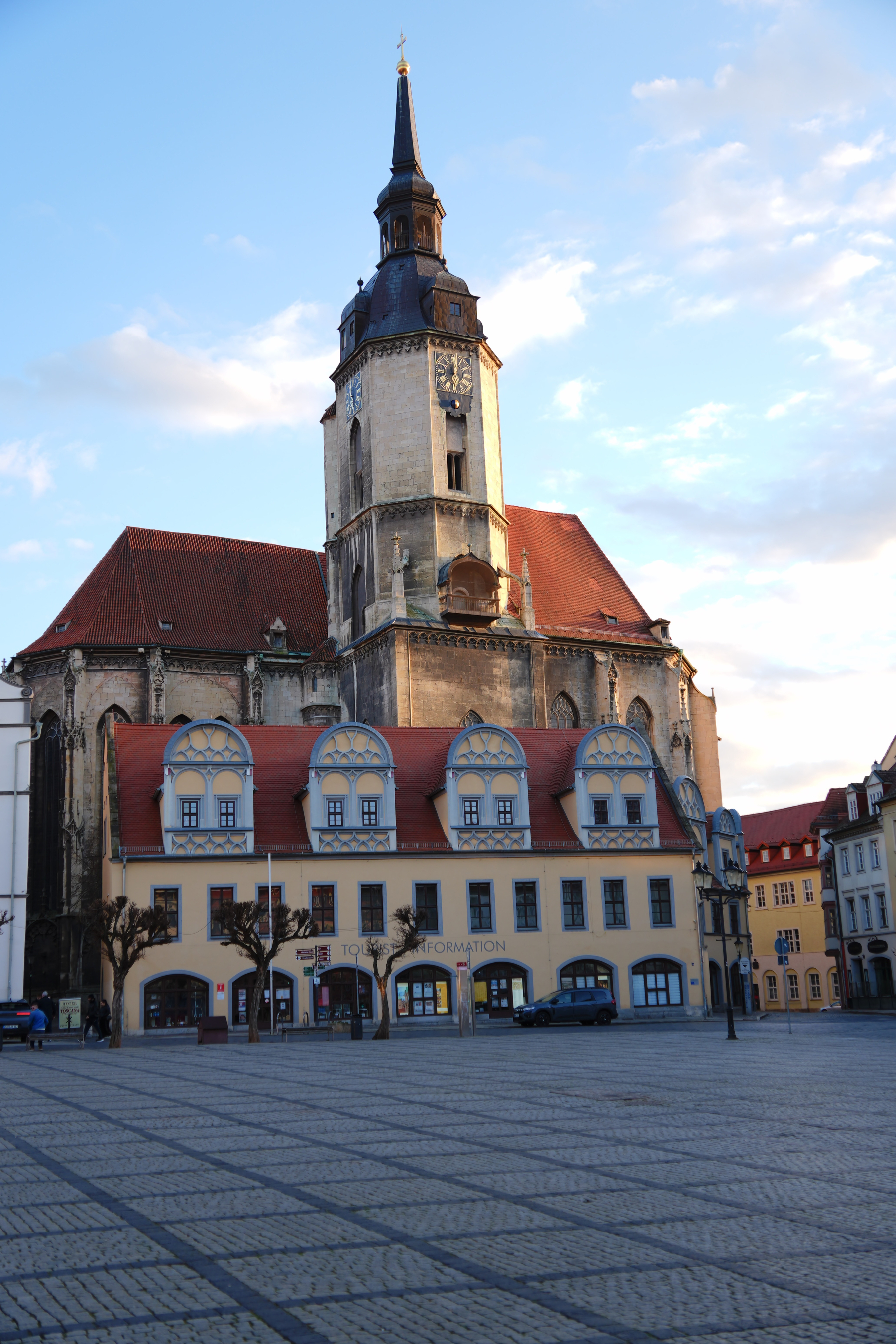
Day 1 - Merseburg
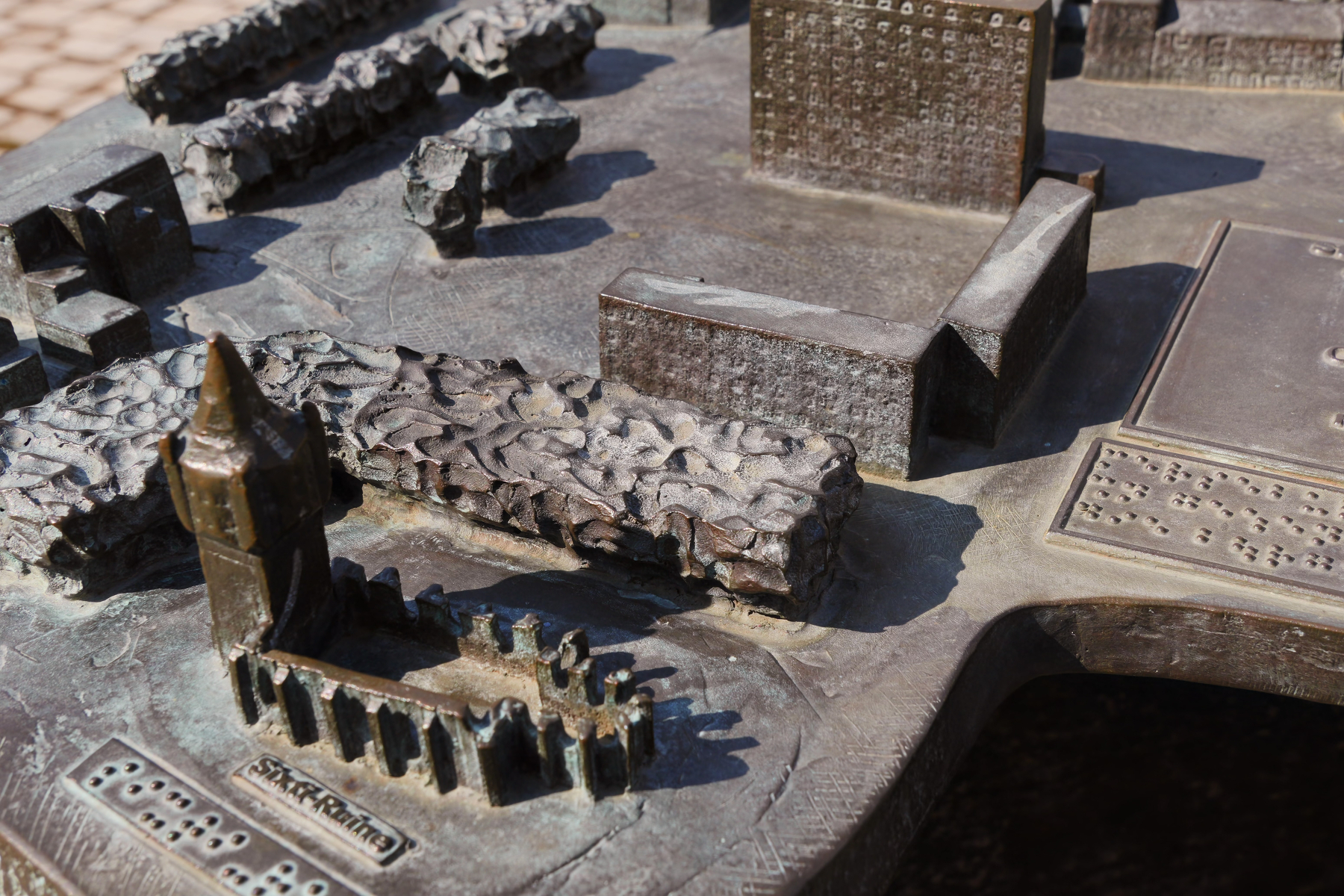
We found a tactile city map. So I’ll contrast a few buildings with map & reality (well, photo)
St. Sixti
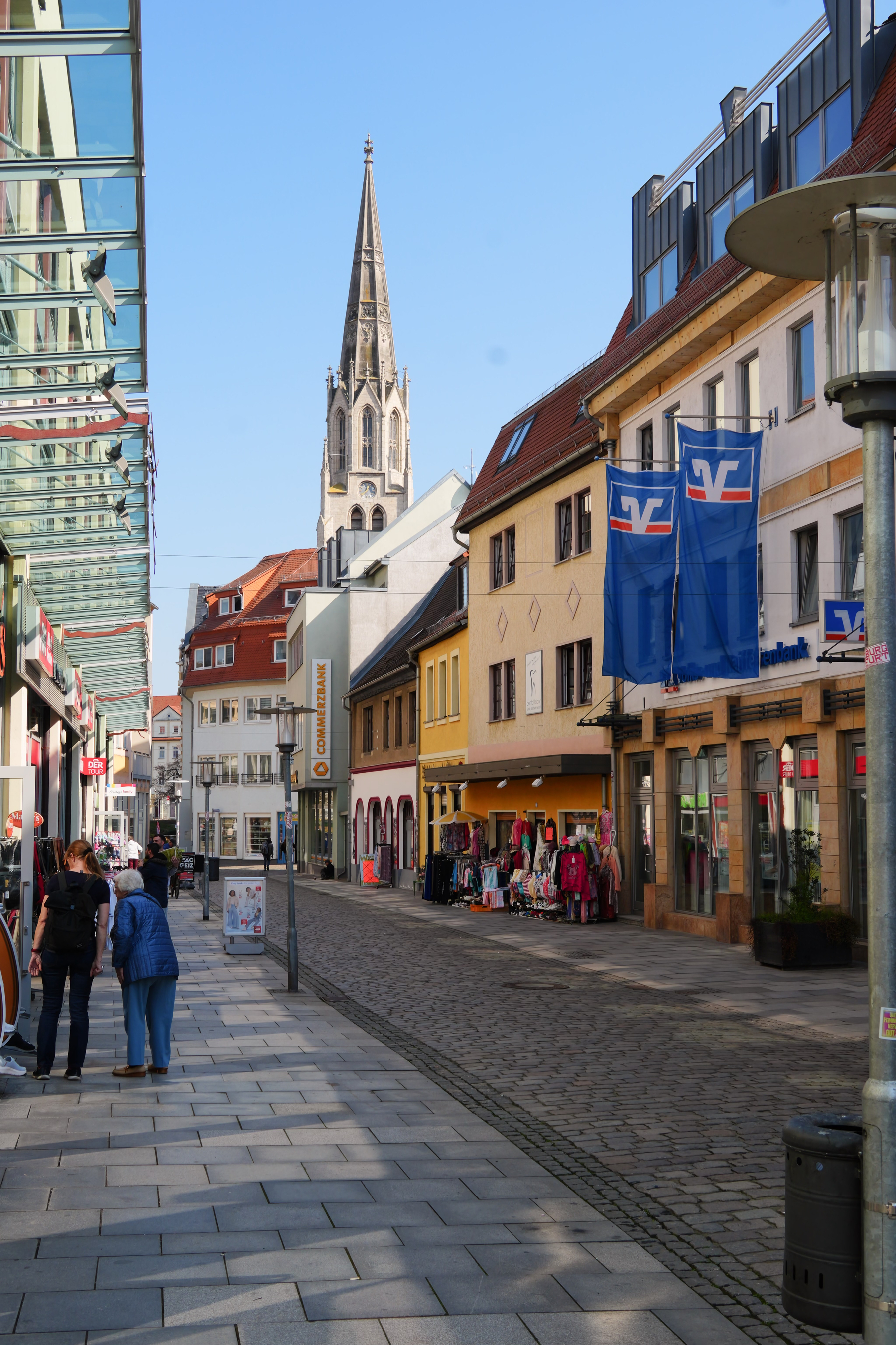
St Maximi
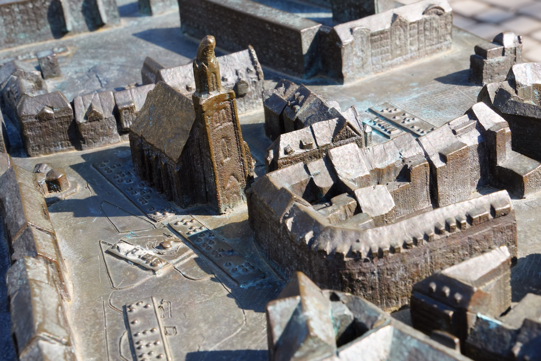
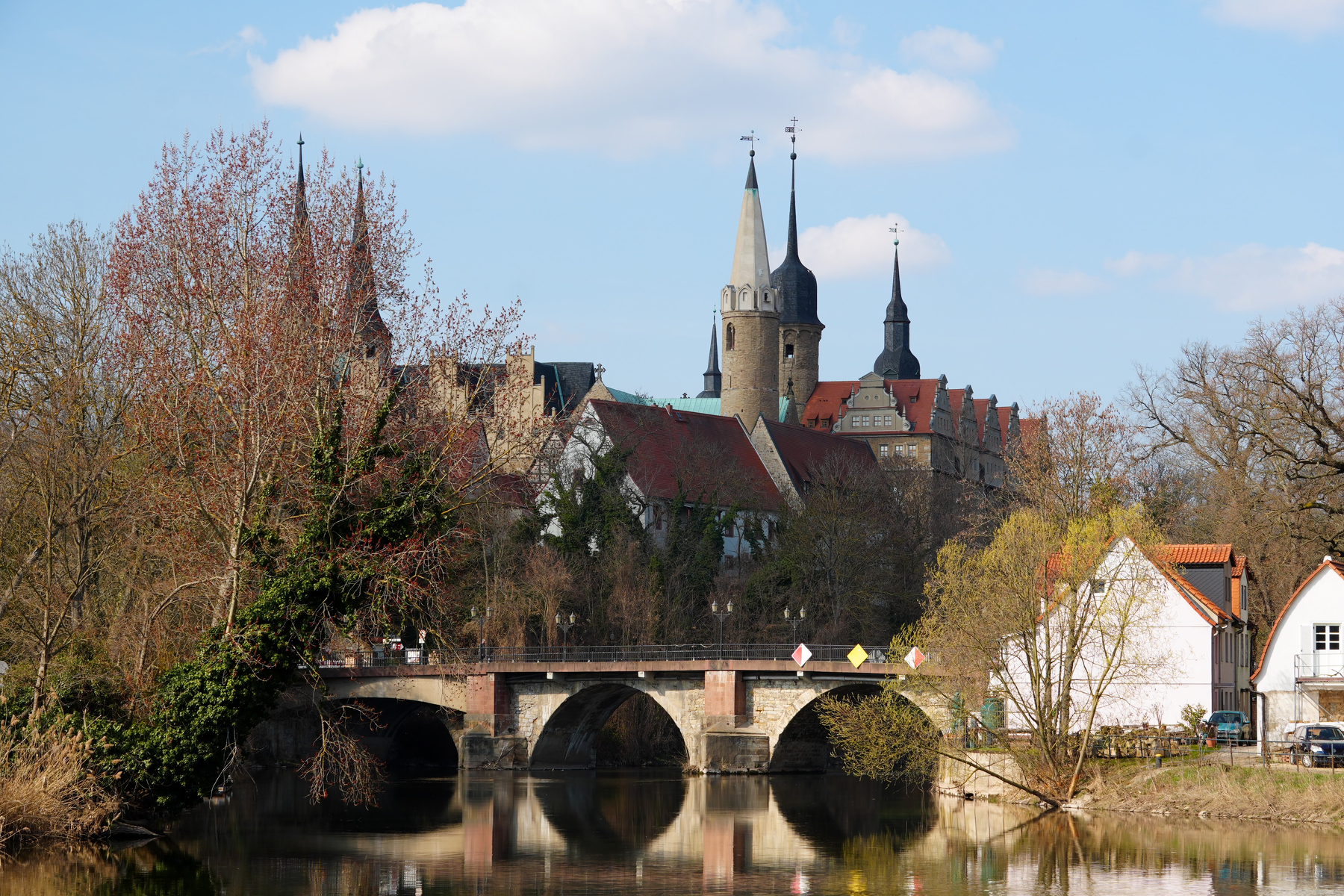
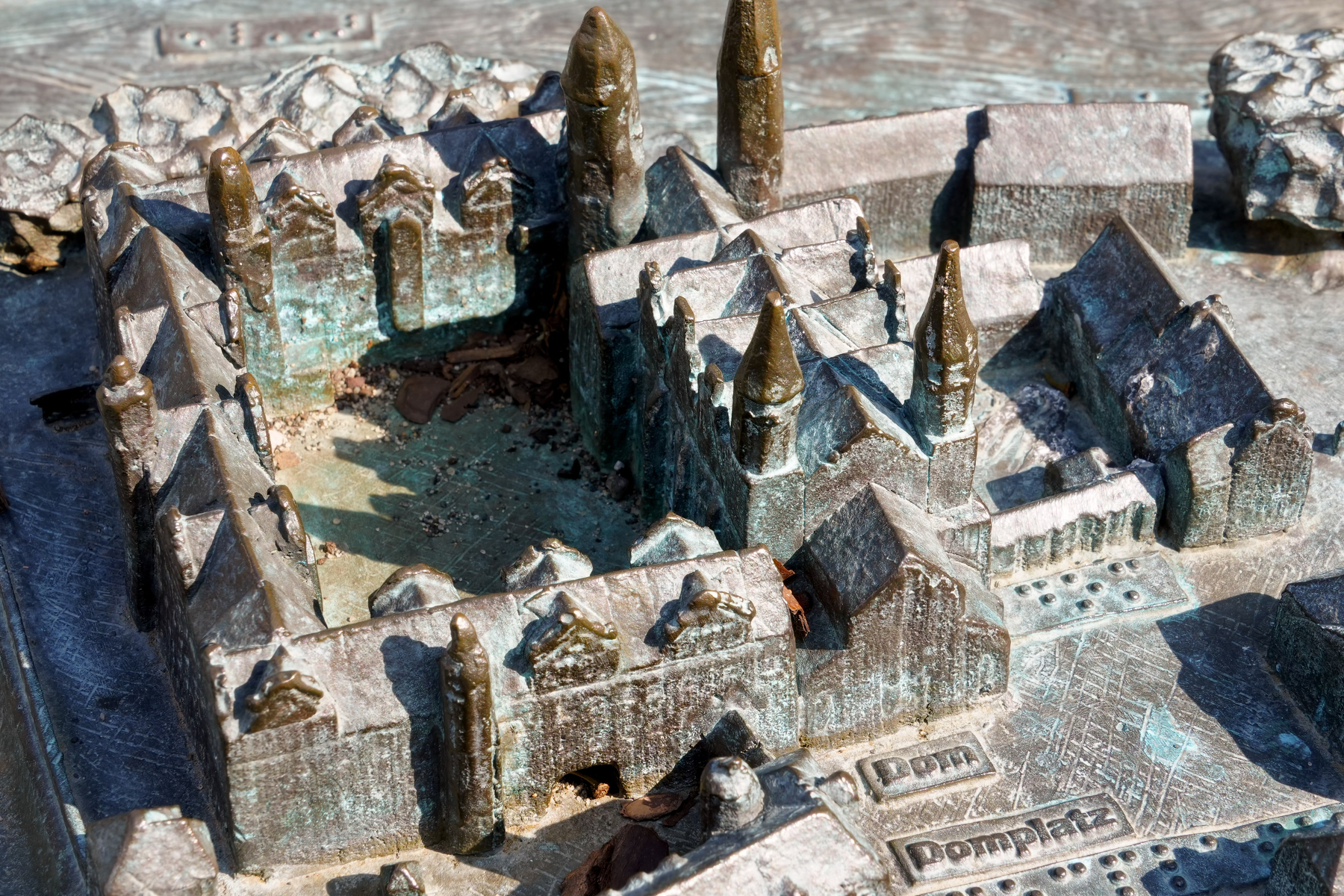
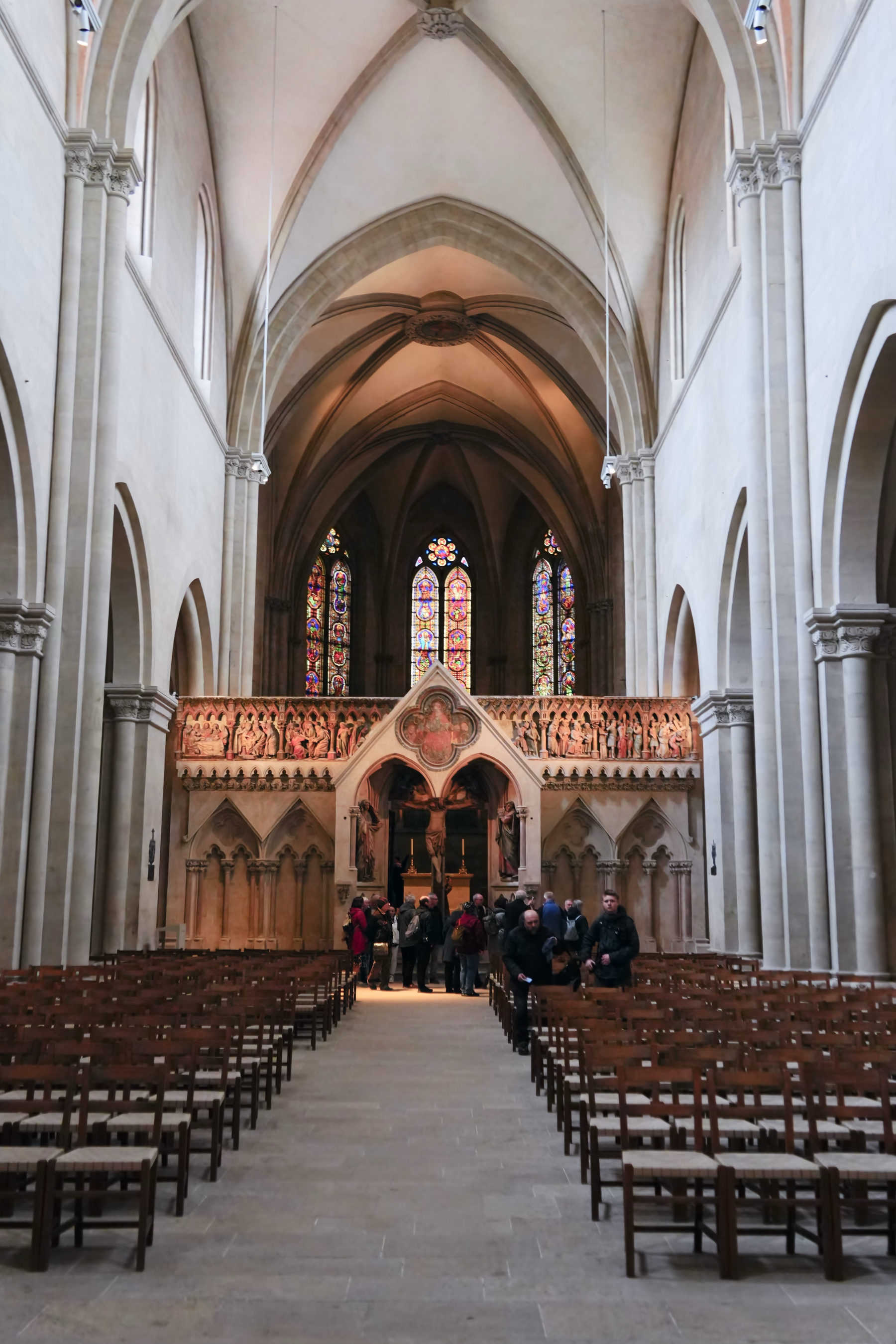
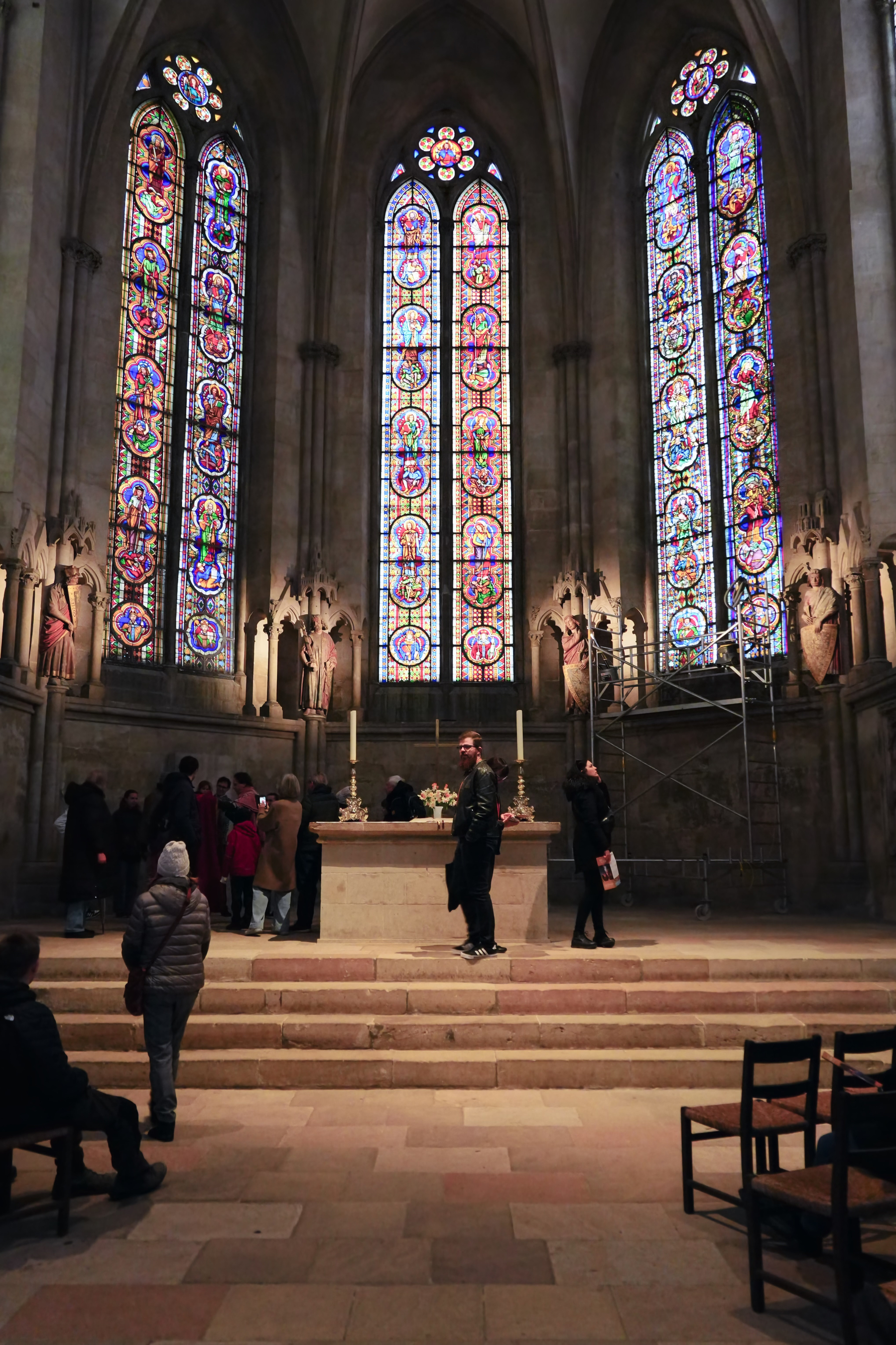
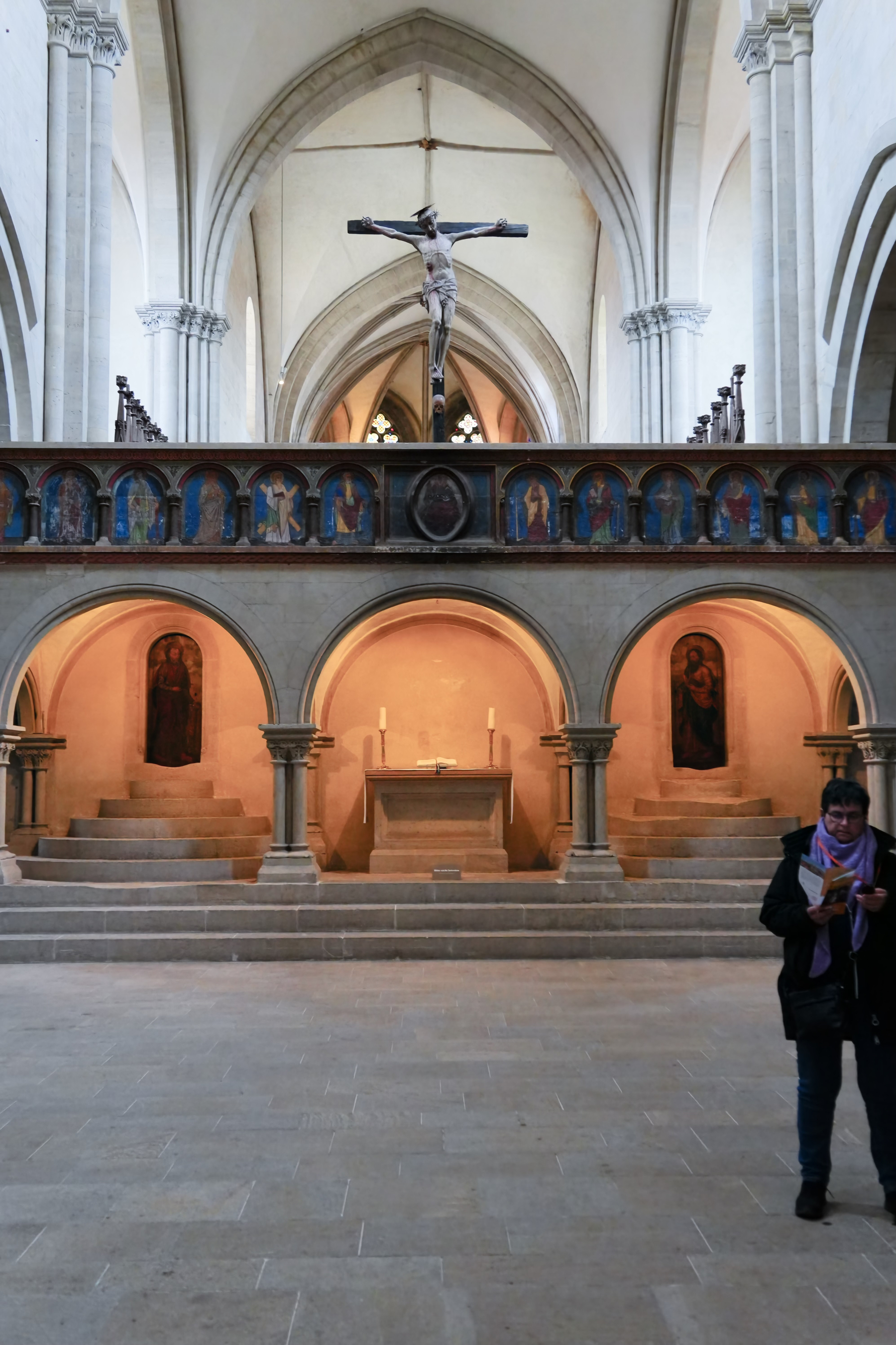
Dom Merseburg
Day 2
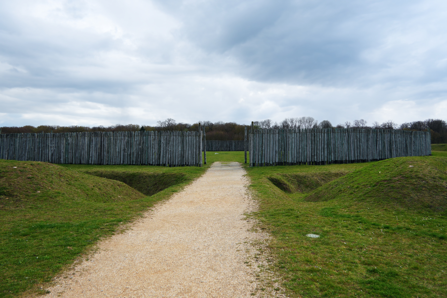
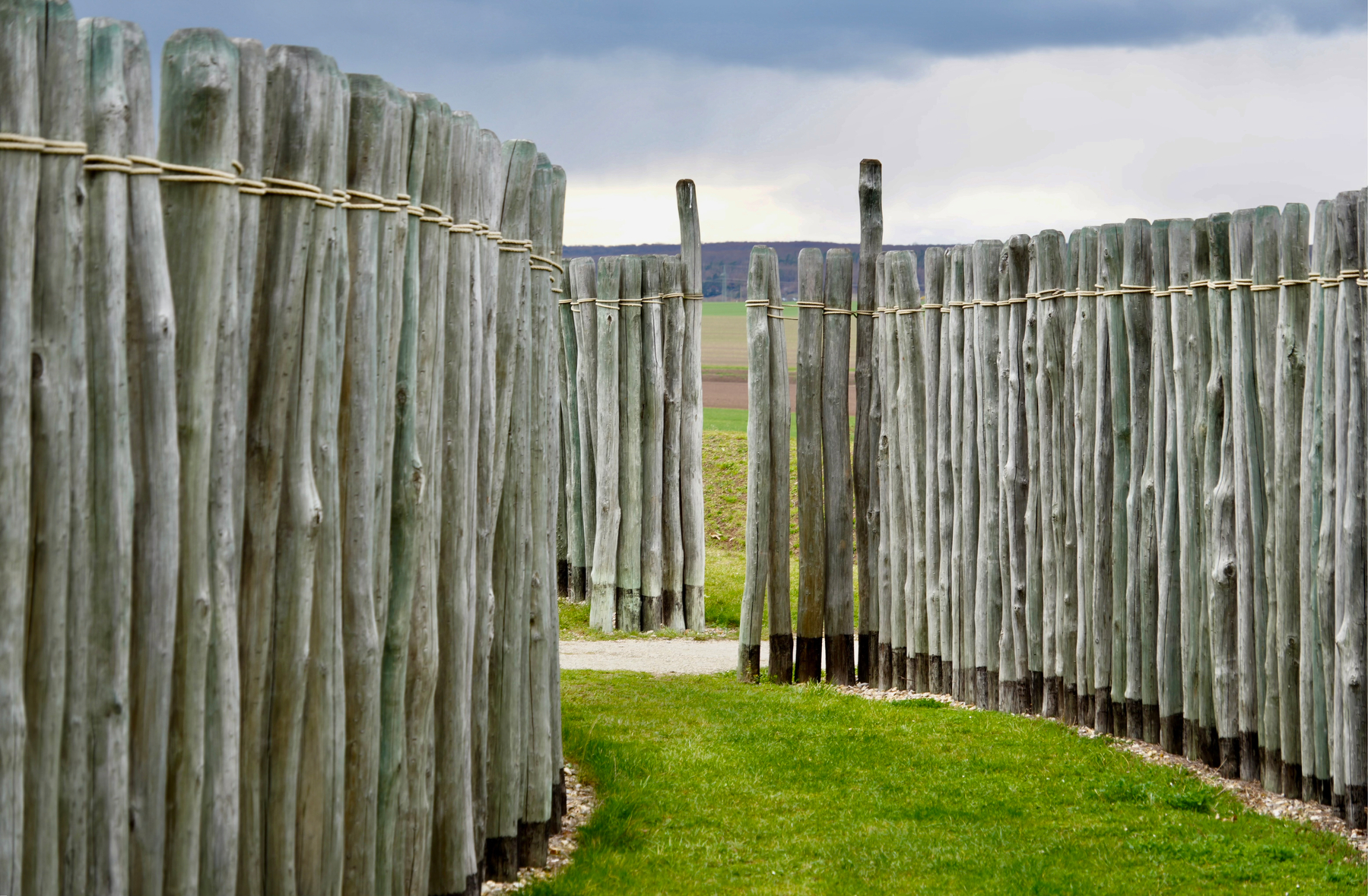
Kreisgrabenanlage Pömmelte
A ca 5000 year old wood circle, close to the confluence of Saale and Elbe.
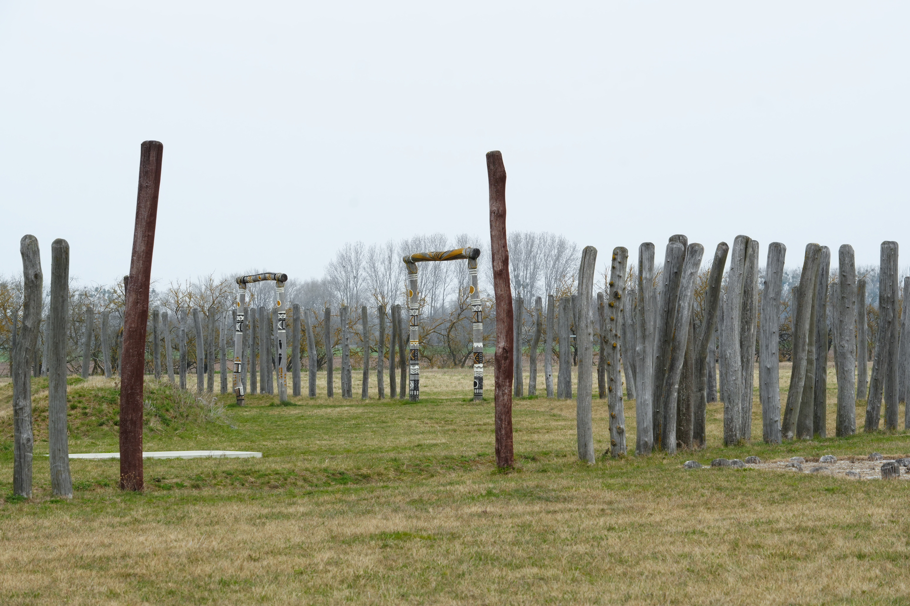
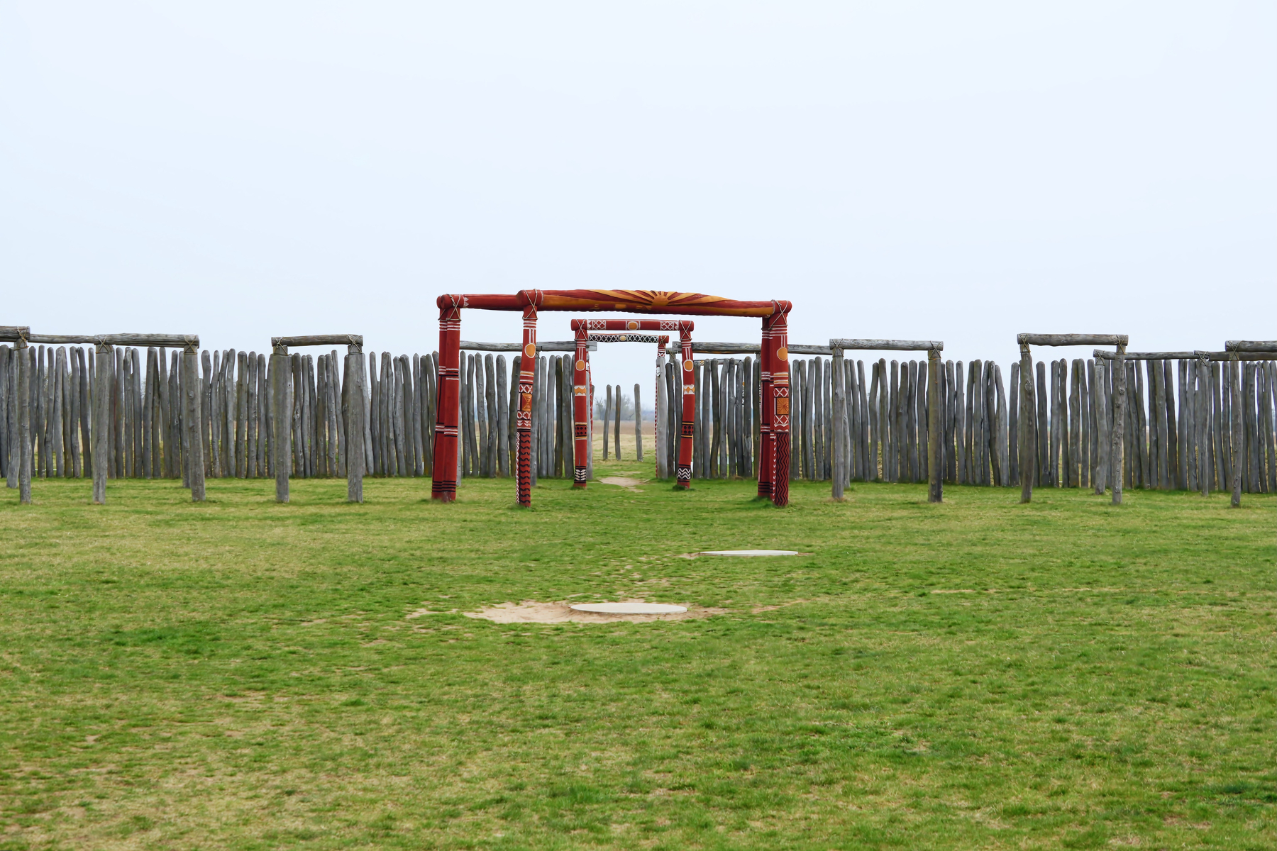
Kreisgrabenanlage Pömmelte
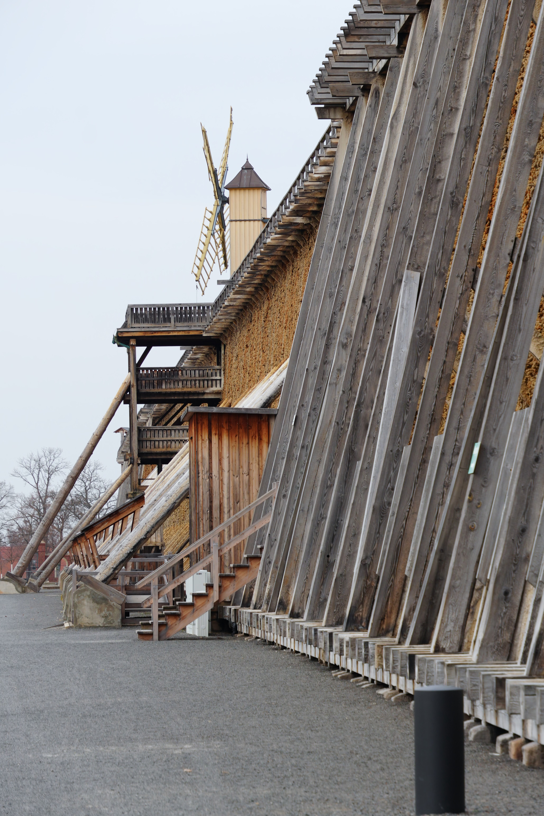
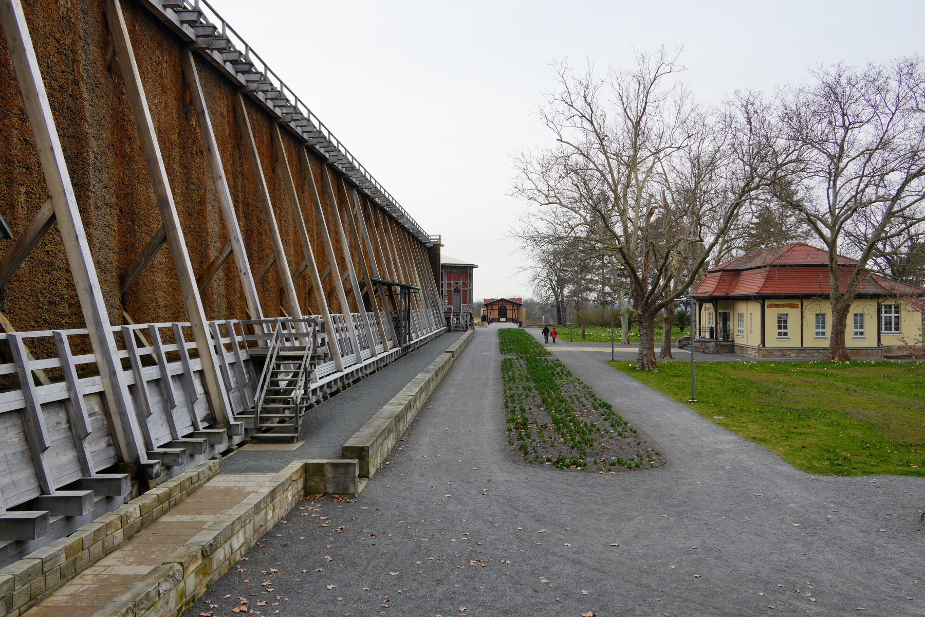
Bad Dürrenberg
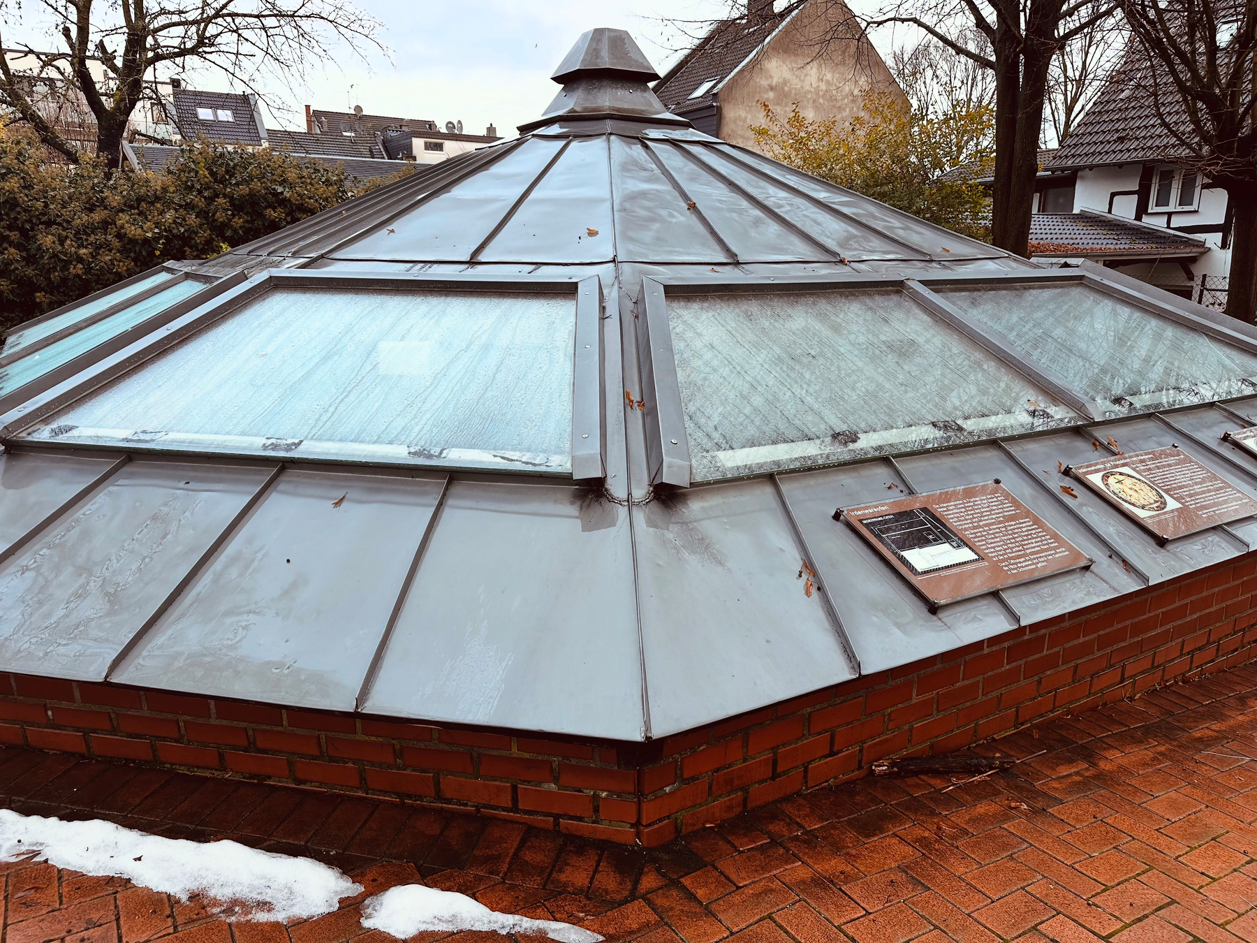
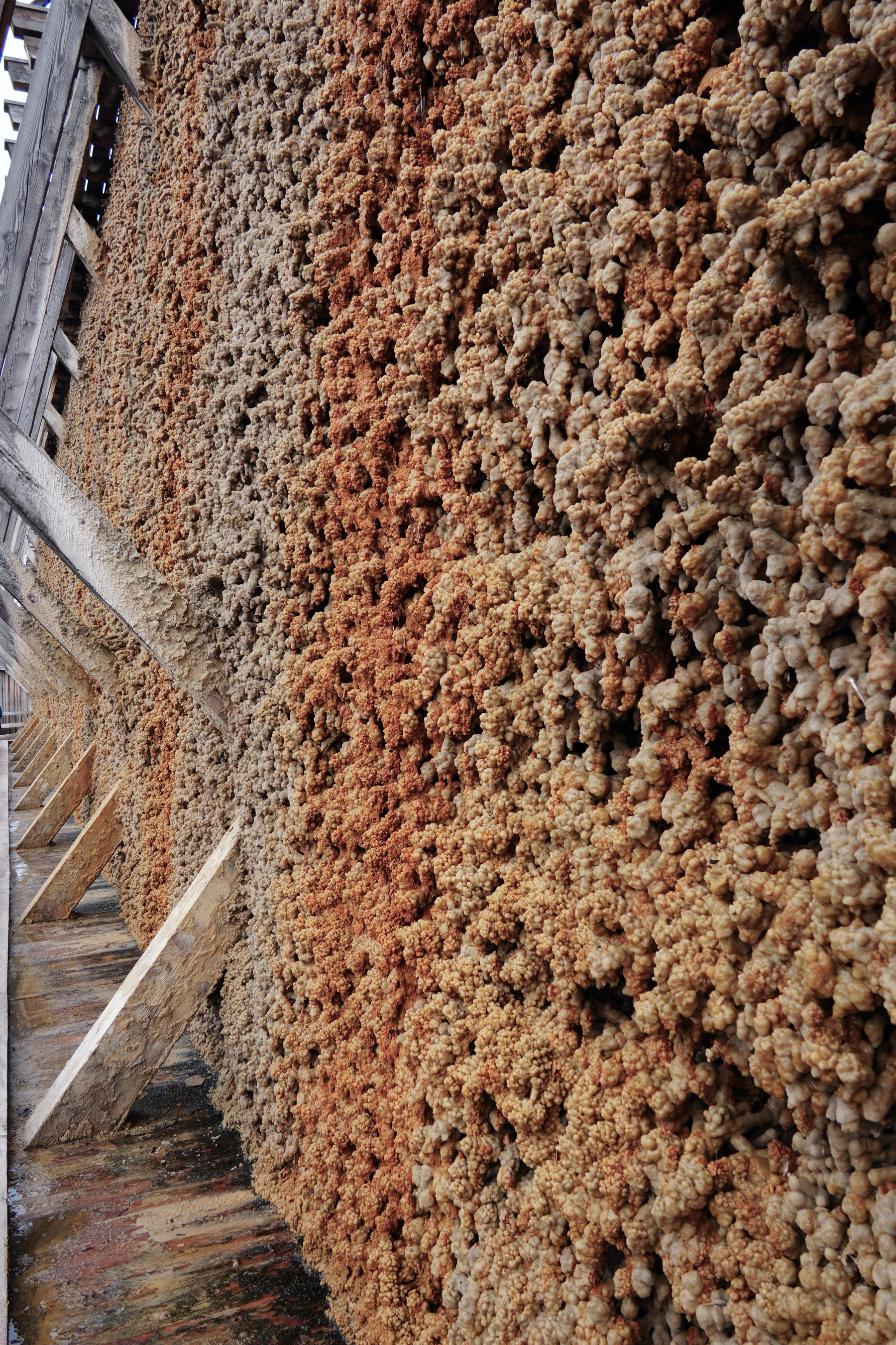
The longest historic salt works in Europe
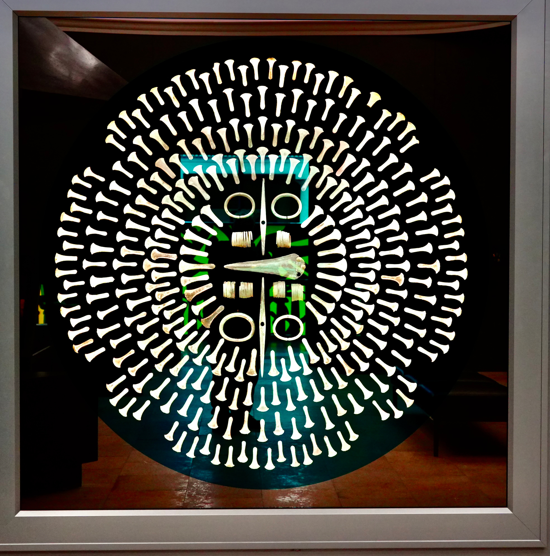
In the middle of the spas park in 1932 the grave of a neolithic shaman and her child was found. Now in the Museum in Halle.
Gradierwerk Bad Dürrenberg
Bestattung von Bad Dürrenberg
www.landesmuseum-vorgeschichte.de/dauerauss…
Day 3
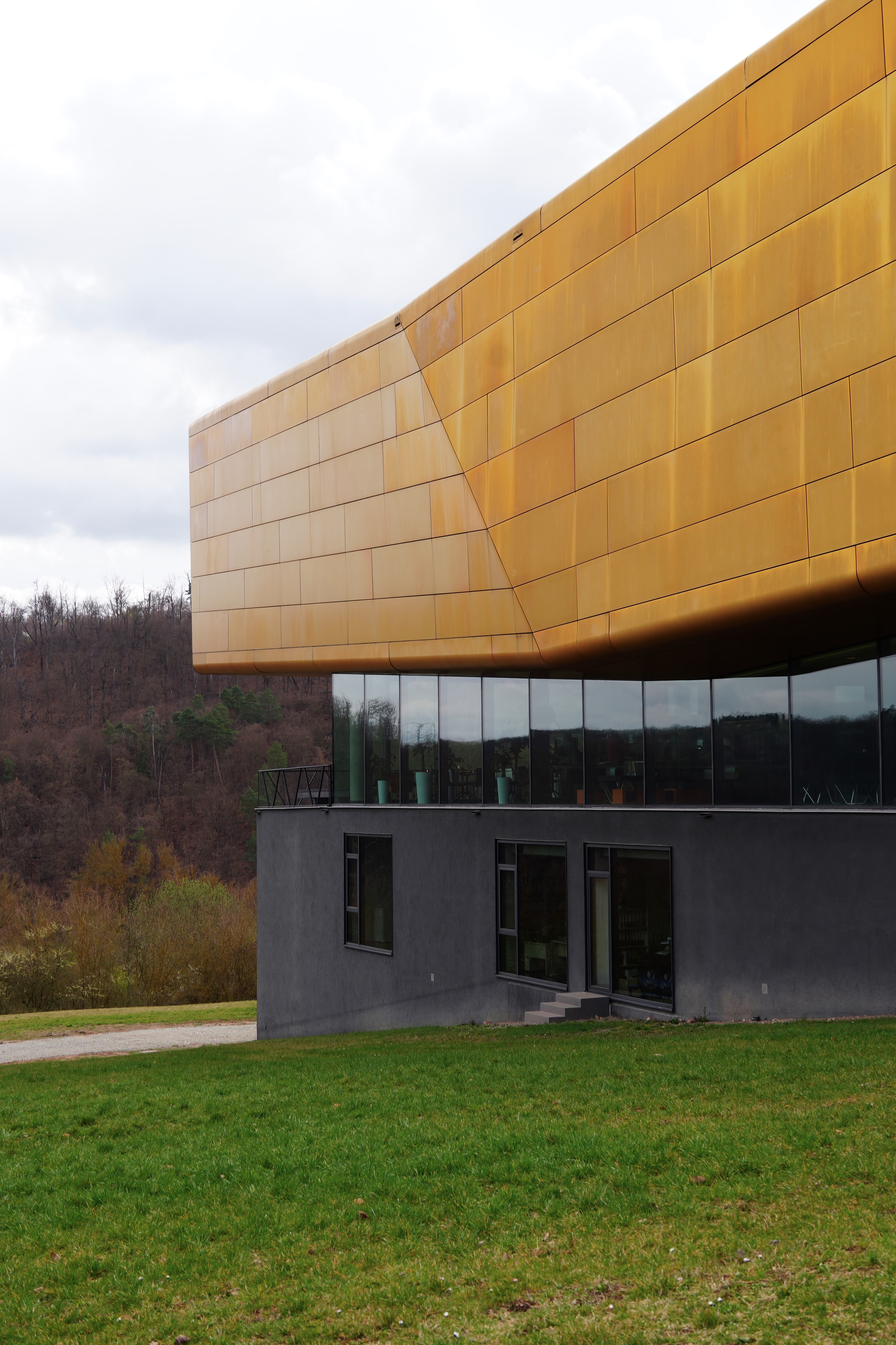
Arche Nebra
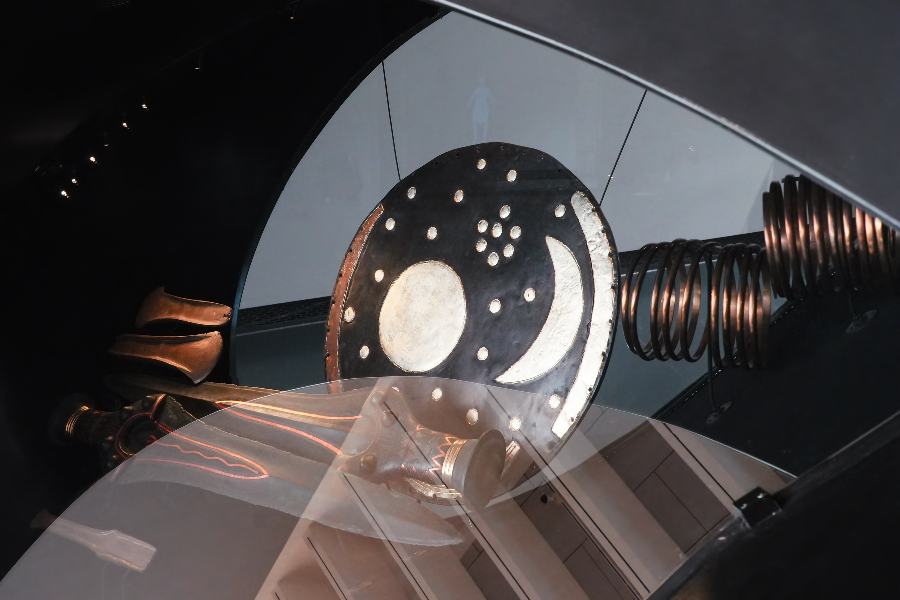
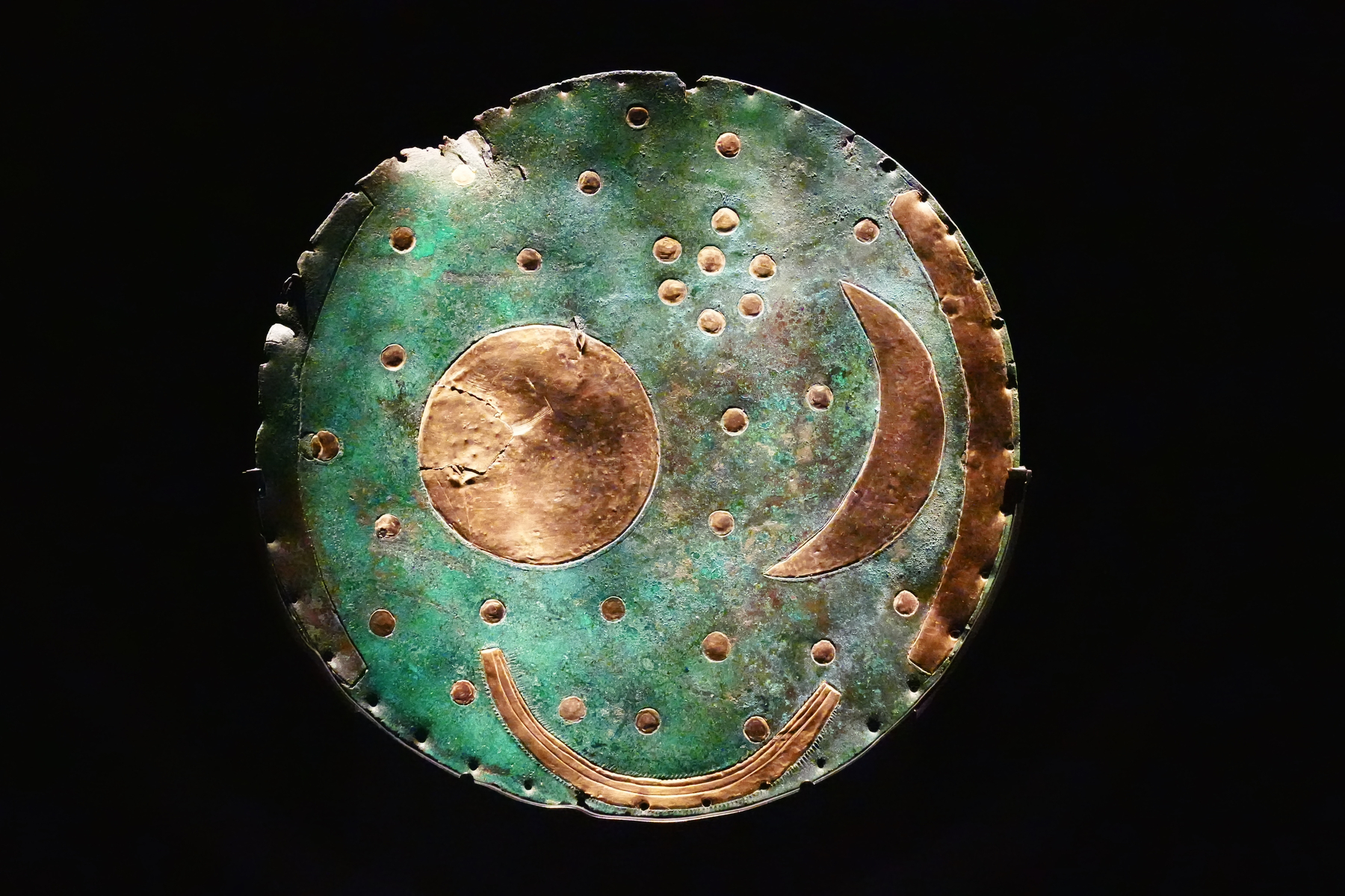
A museum, basically in the middle of nowhere, sits near the spot where the Nebra Sky Disk was found. In a film presentation, the symbolism on the disc is explained, including the importance for people in the Neolithicum. The disk shows how from observation you can figure out, using the position of the Pleiades and the moon, when spring starts and when autumn starts.
www.himmelswege.de/orte/arch…
Sonnenobservatorium Goseck
A 7,000-year-old sun observatory.
It looks much simpler than the Ringheiligtum Pömmelte we visited earlier this week. But, it is the oldest sun observatory yet found anywhere.
The observatory sits below the top of a hill. The view takes in a large valley, stretching from the earliest sunrise in the year to the latest sundown of the year. Today, this is all mostly fields. Back then, you would have looked just above the treetops.
sonnenobservatorium-goseck.info
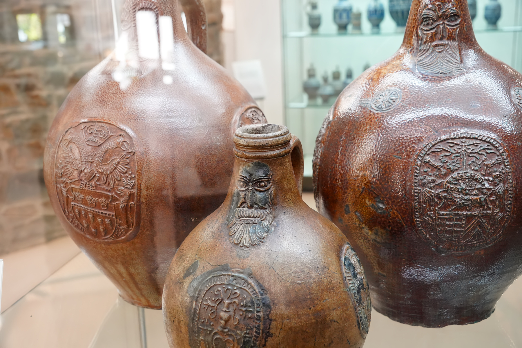
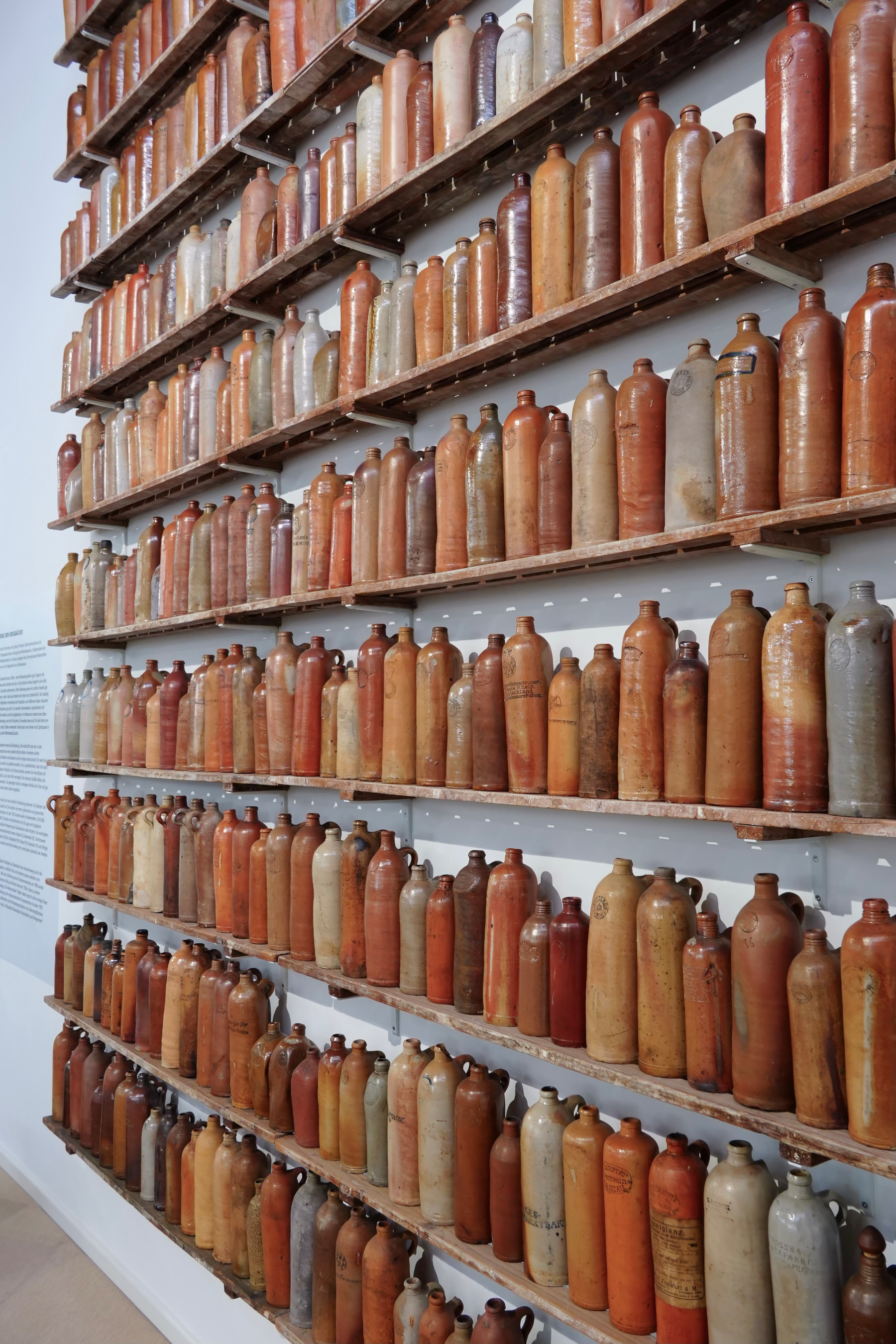
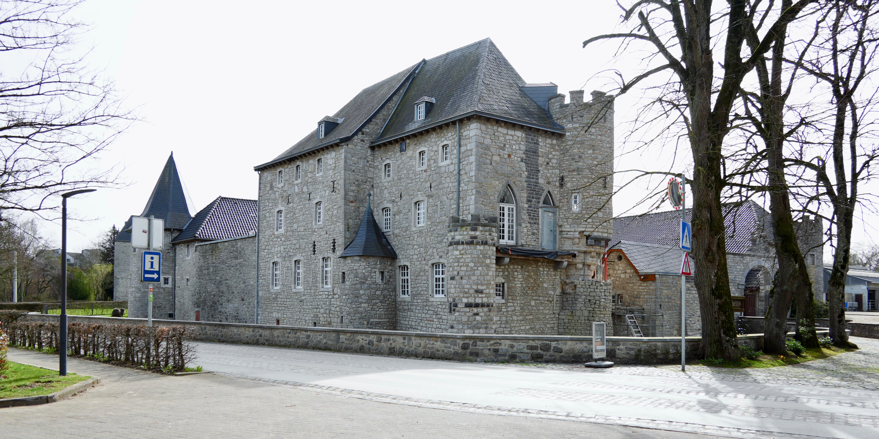
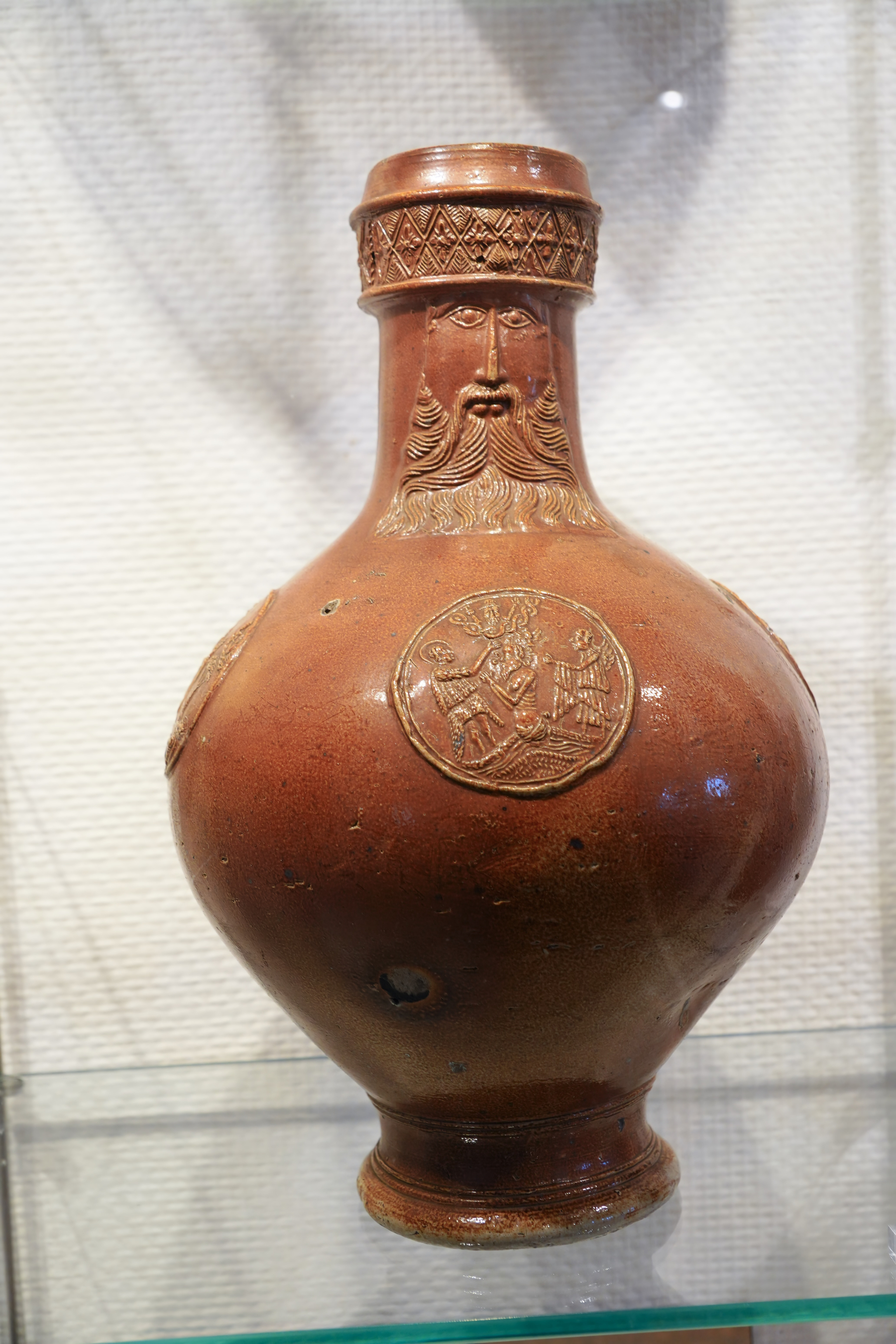
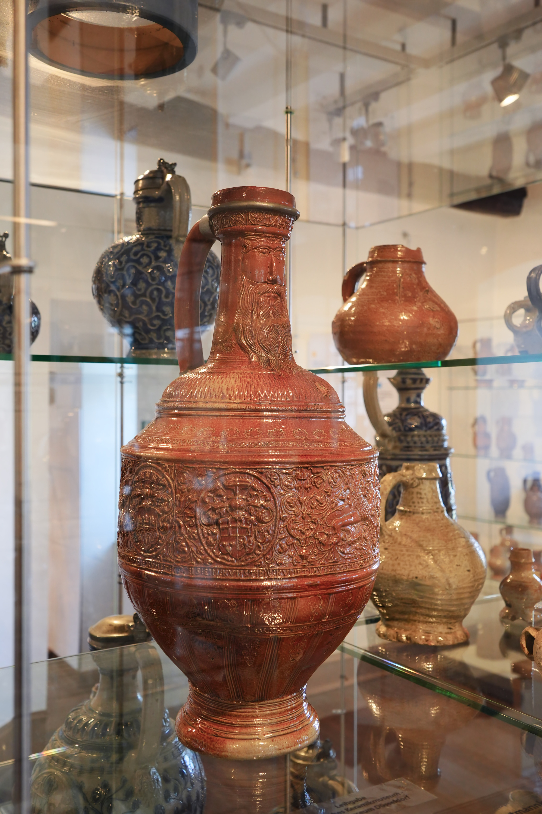
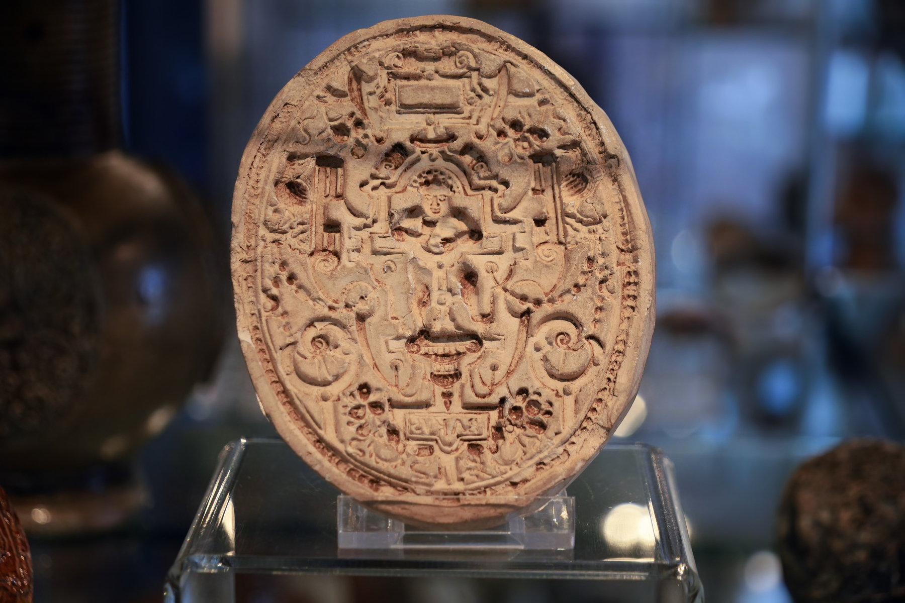
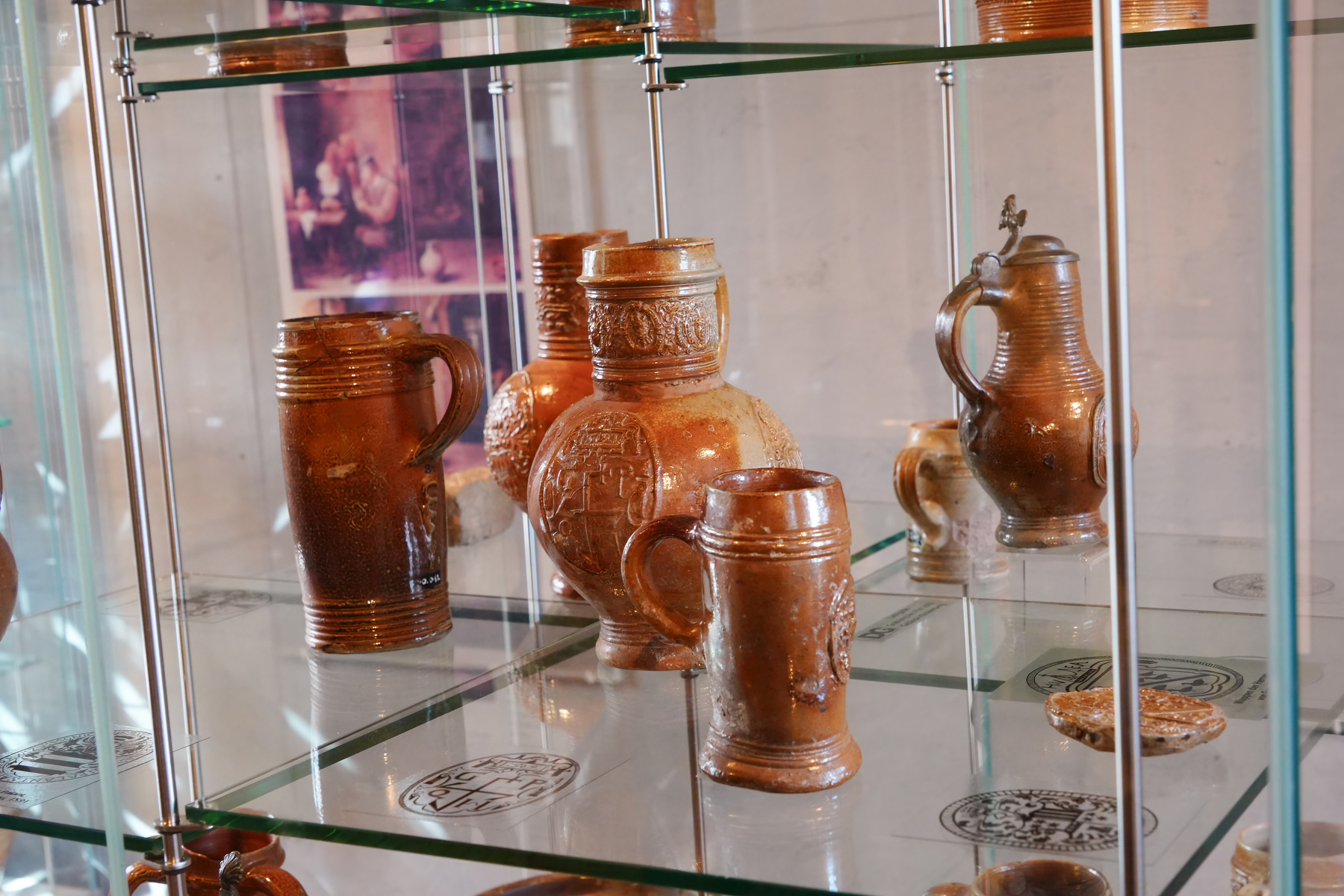
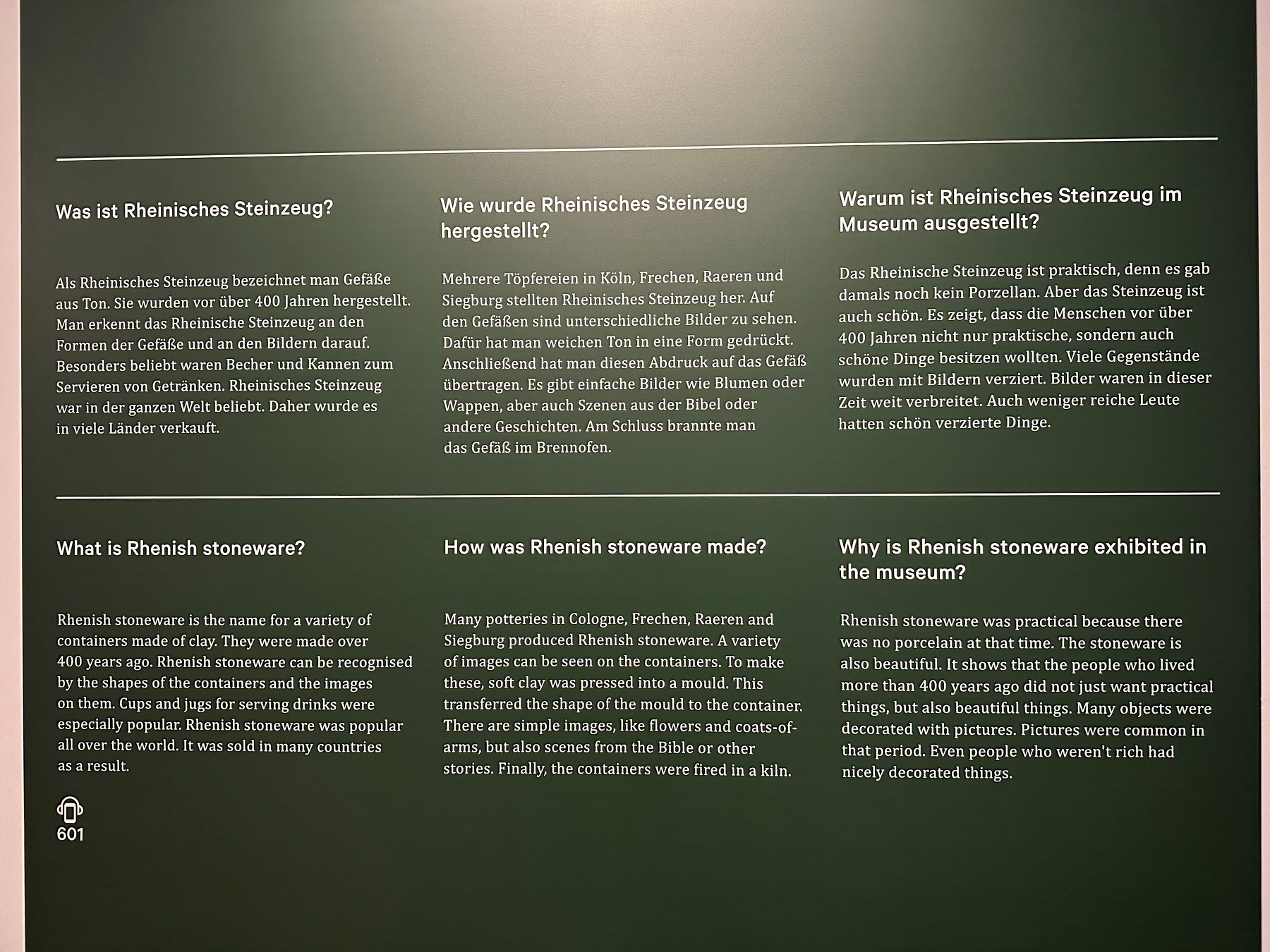
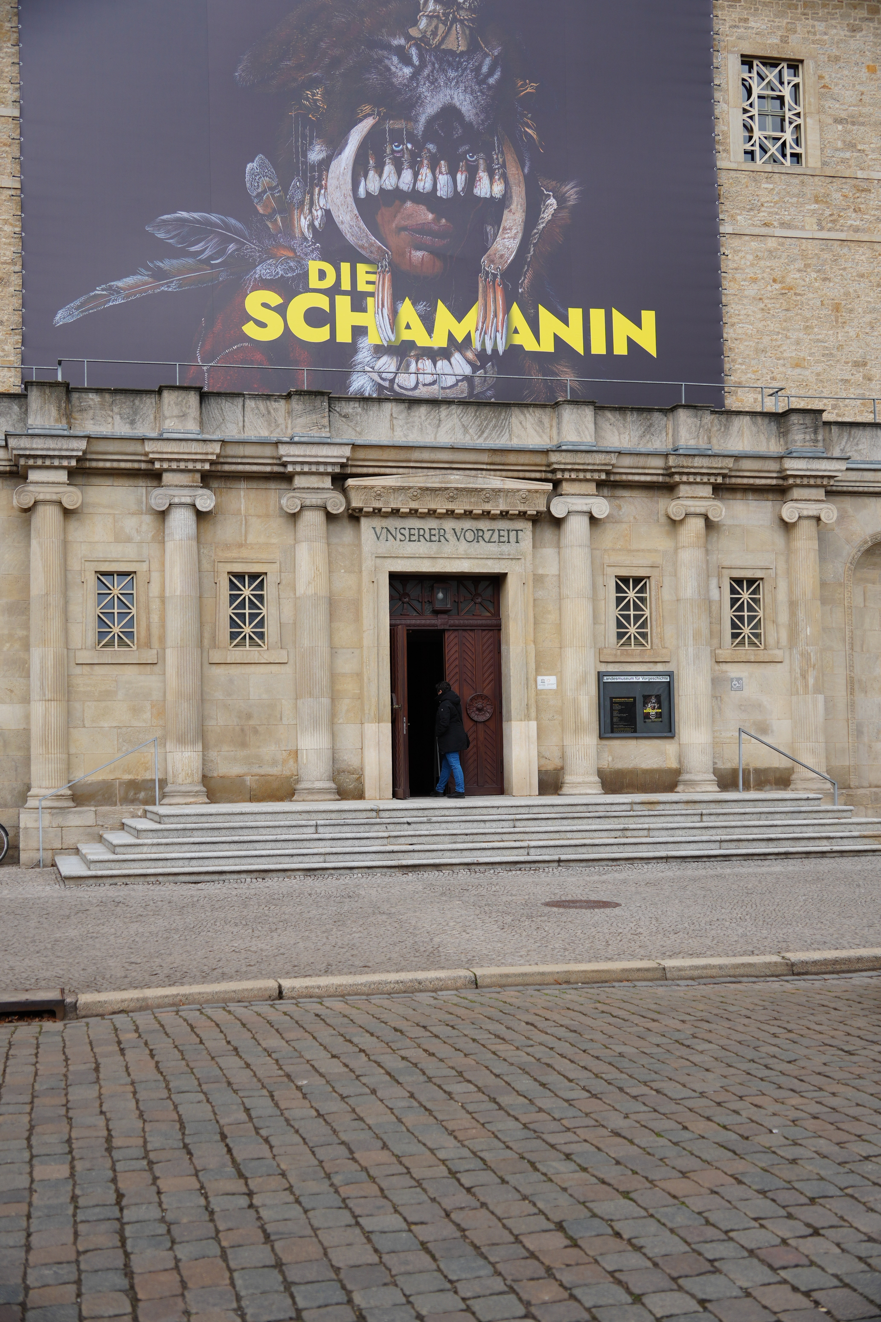
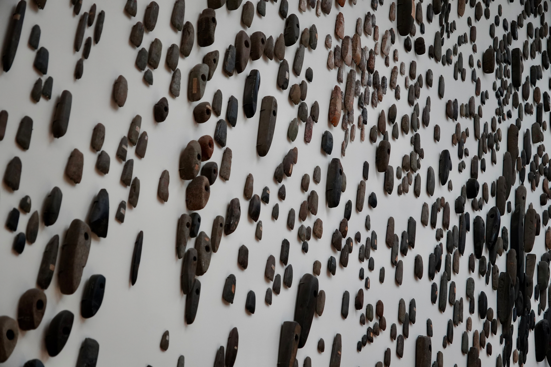
Day 4 - Landesmuseum für Vorgeschichte (Halle/Saale)
A very nice (smallish) museum, but very well made.
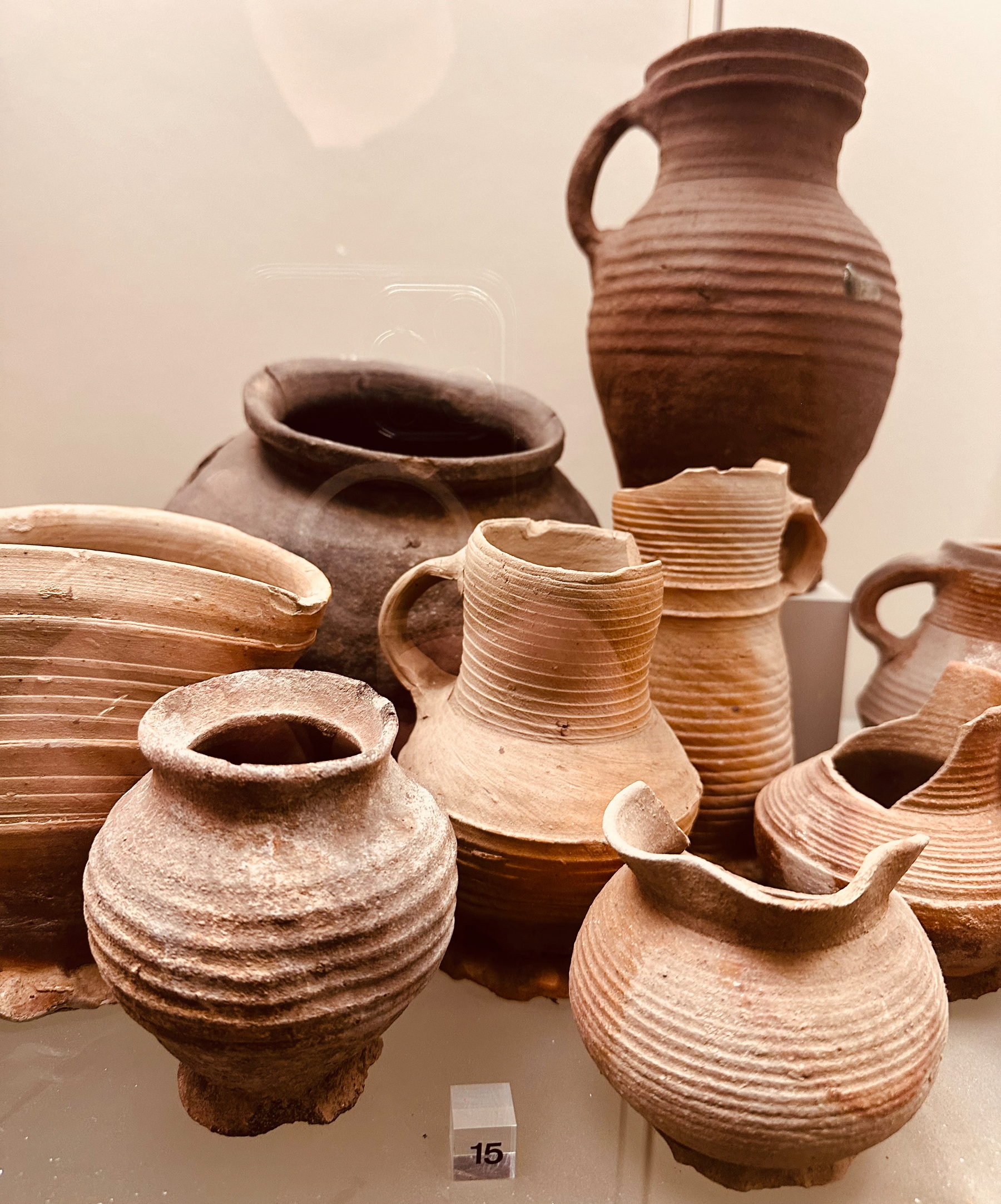
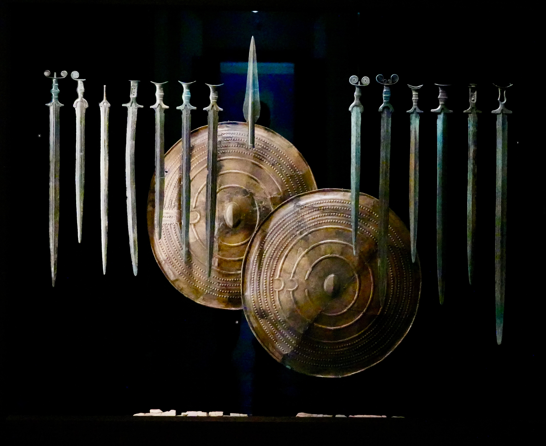
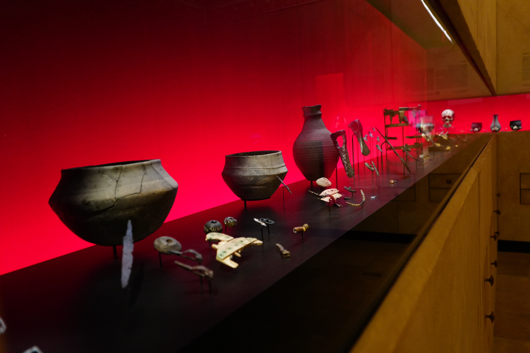
You start on the top floor with finds from about 400.000 years old from various cousins, including Erectus and Neanderthal and ending with Sapiens and the bronze age. Loads of finds. Rough stone tools, knapped stone tools, polished stone tools. The odd animal skeleton. The presentation is very good and the visitor leaves with a good and present impression of what life was like.
Himmelsscheibe front
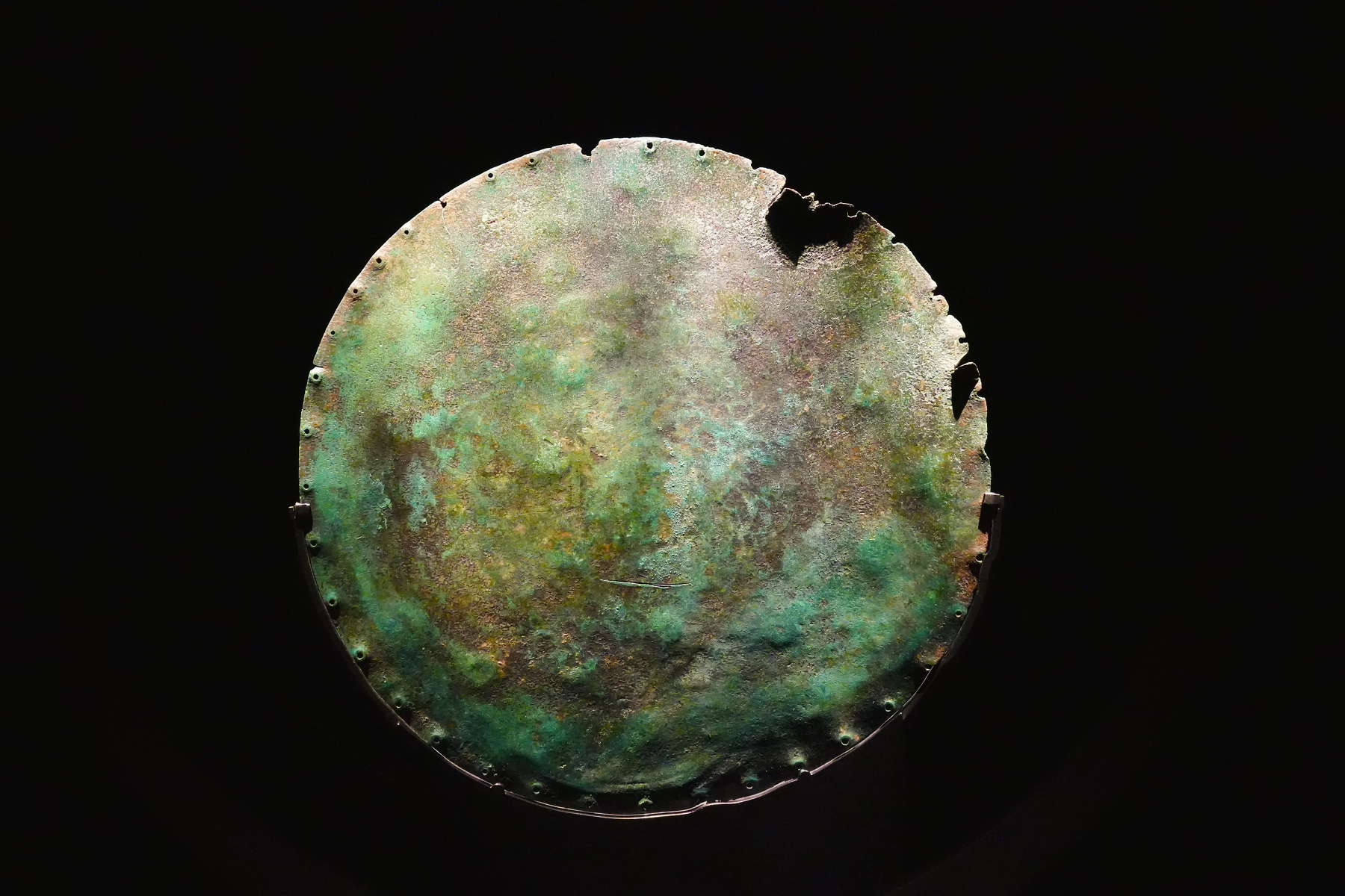
Himmelsscheibe back
www.landesmuseum-vorgeschichte.de/en/
The first floor takes us from the beginning of the Iron Age to the Reformation.
Quite a short time compared to the floor above.
But because of the sheer number of objects and contexts this floor feels more condensed and “sped up”.
In short: There was trade with Rome, some served in the Roman Army, the Thuringians had their short lived kingdom, the Franks came, Christianity, Reformation, puh.
Day 5
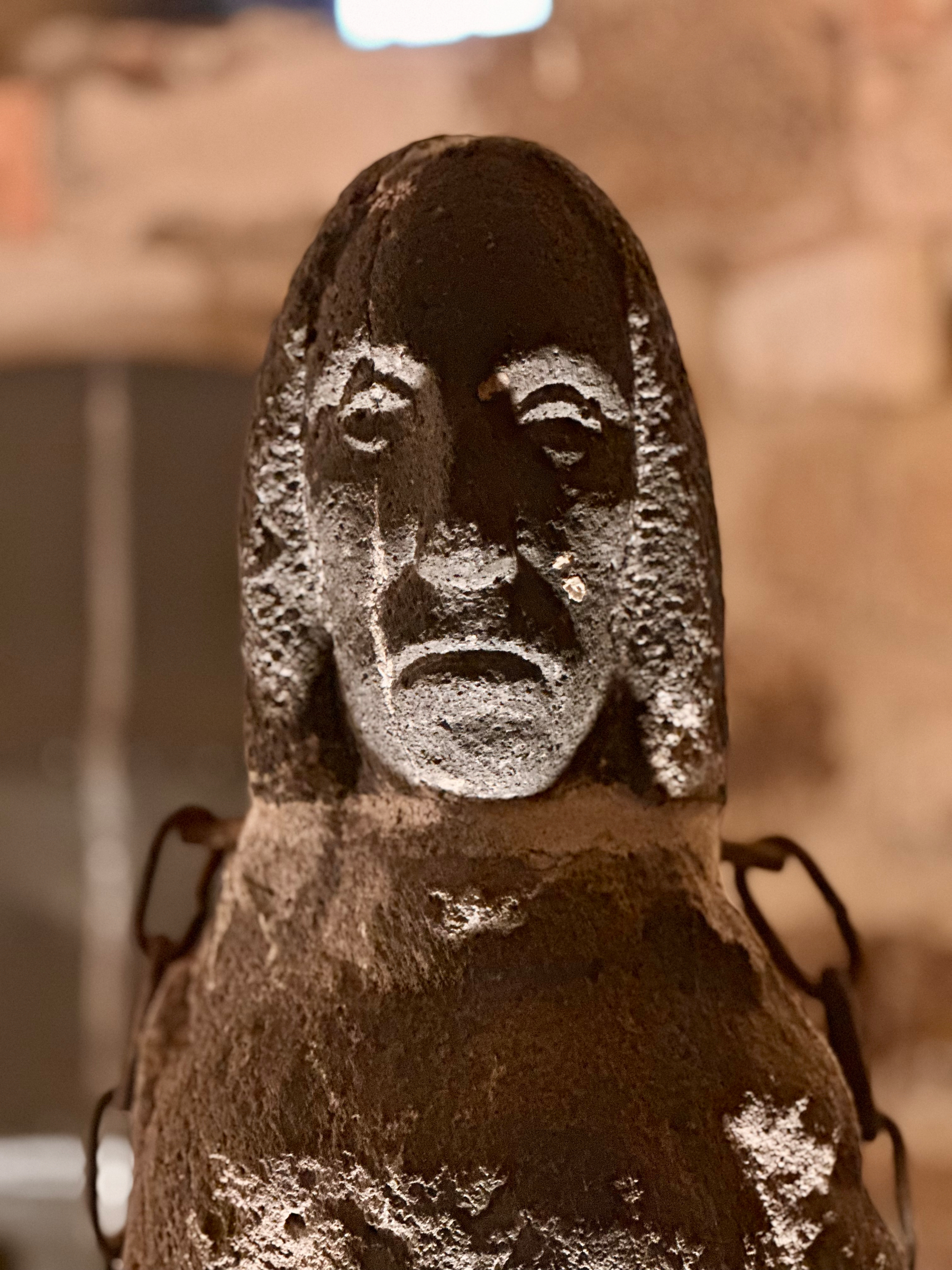
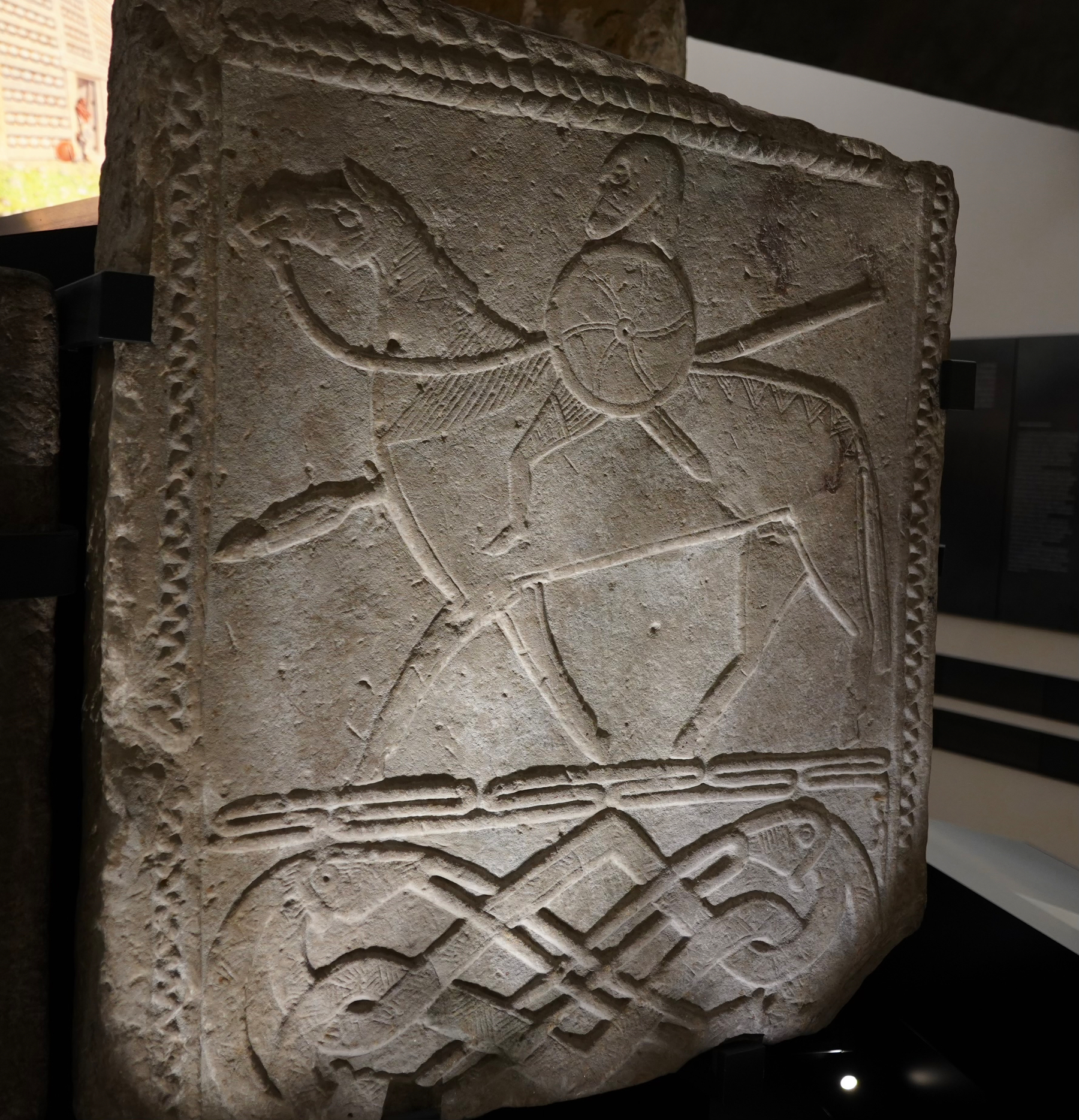
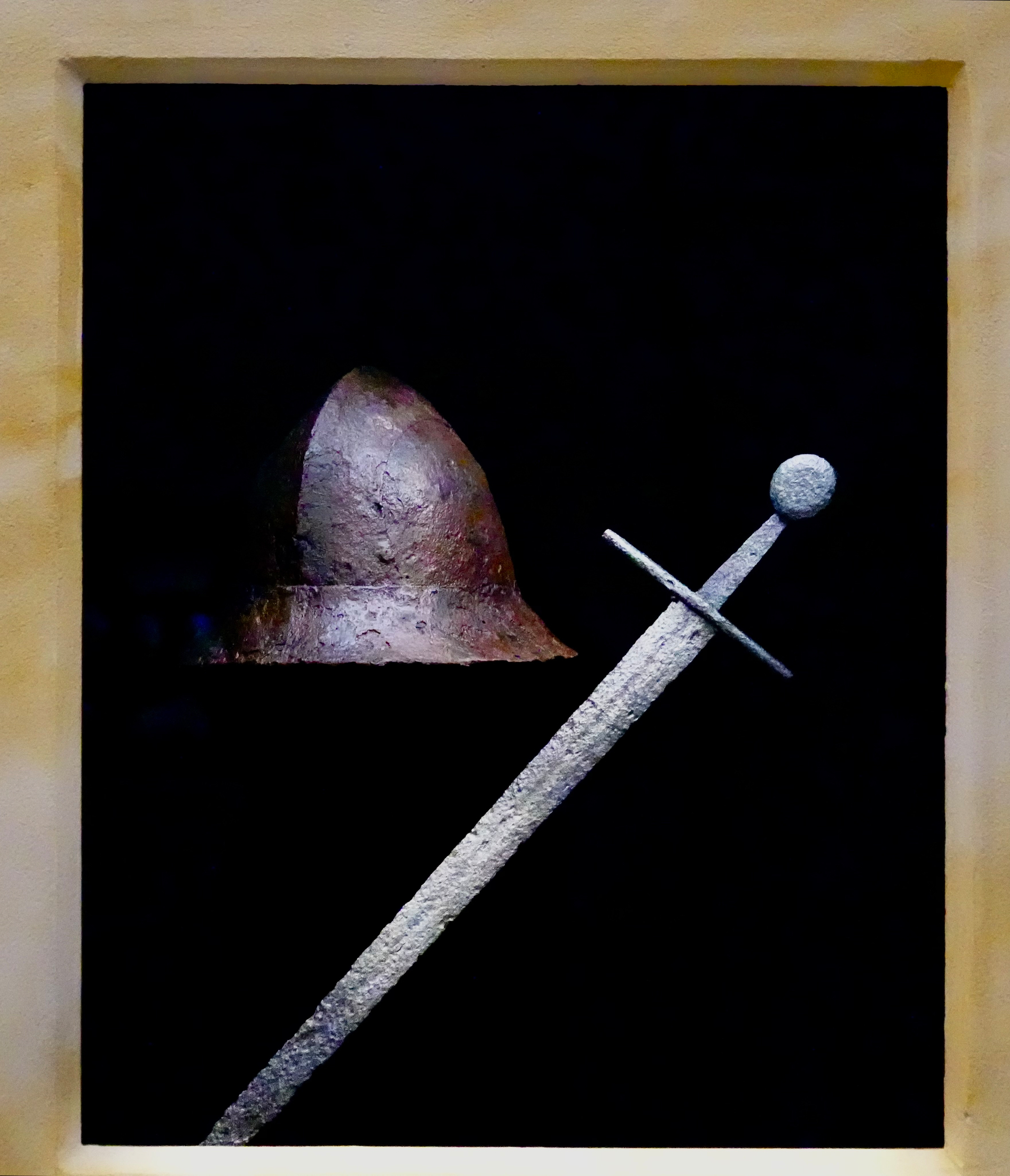
Dolmengöttin Langeneichstädt
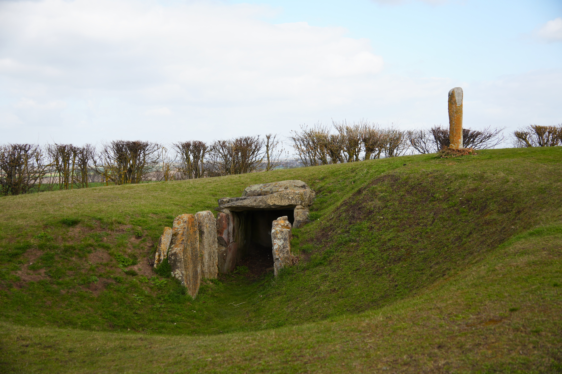
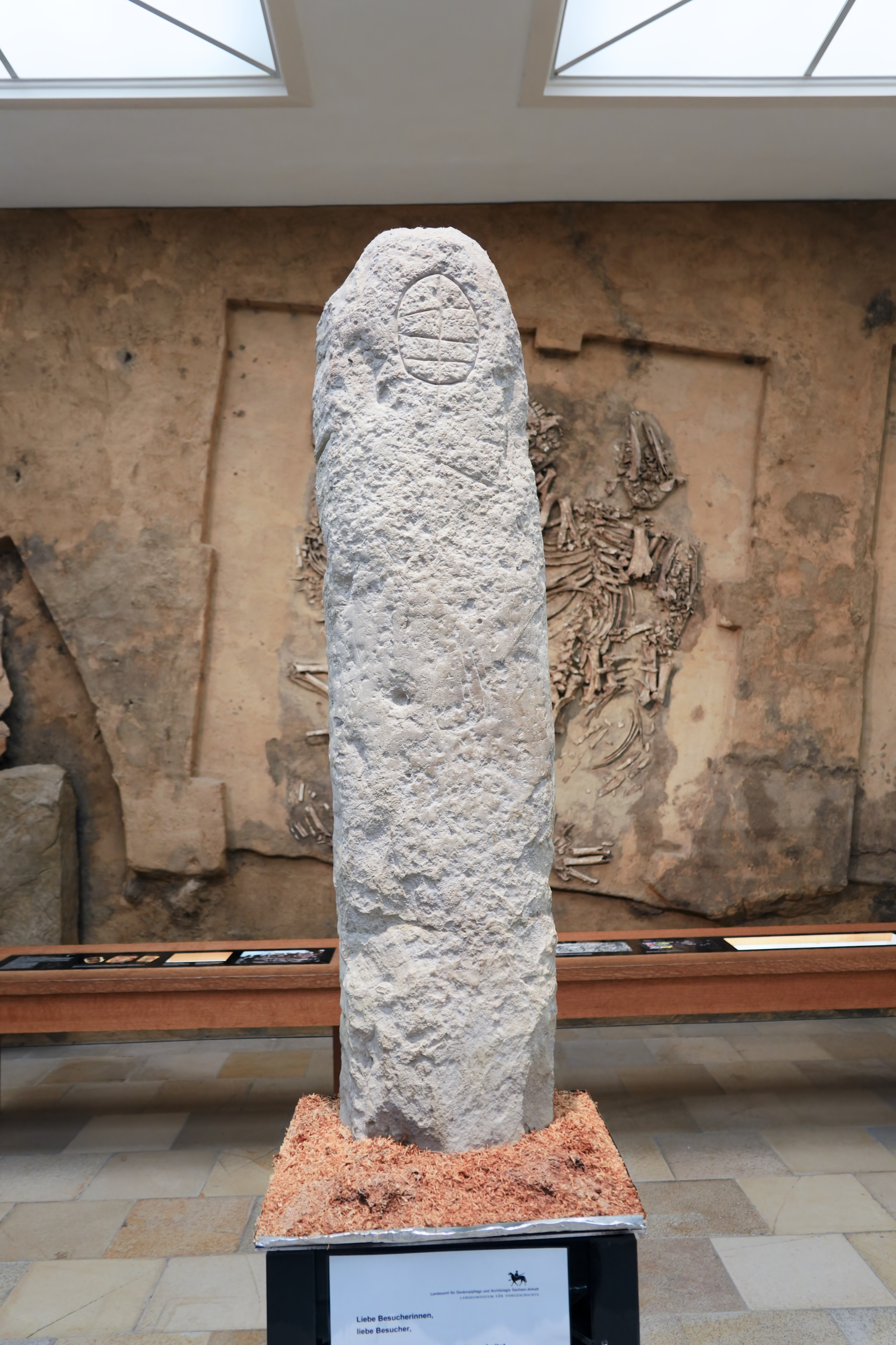
The last picture is the original in the Landesmuseum, see yesterday.
dolmengoettin.de
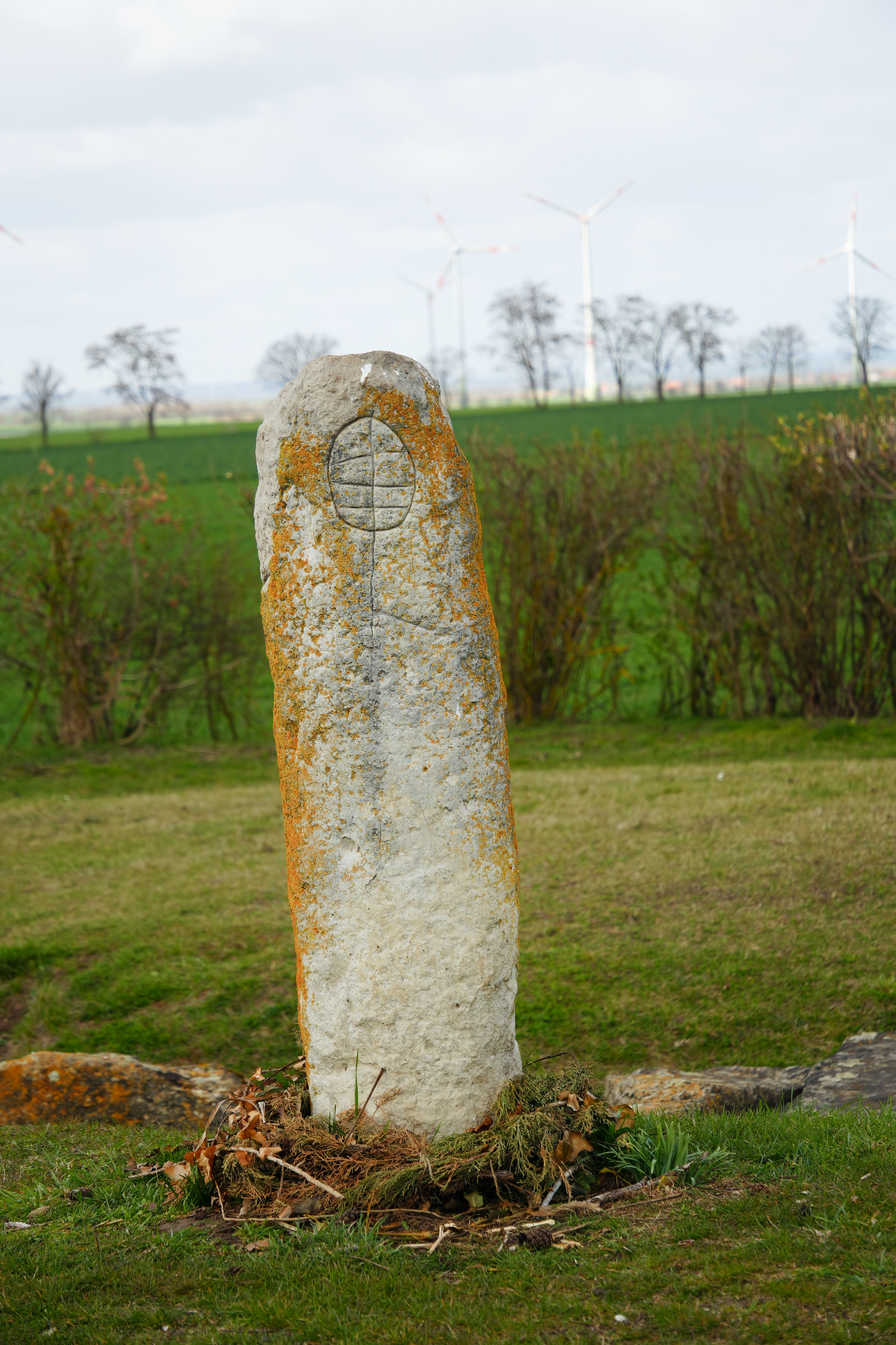
Eichstädter Warte
Same site as the Dolmengöttin, separated by a few meters and a few millennia
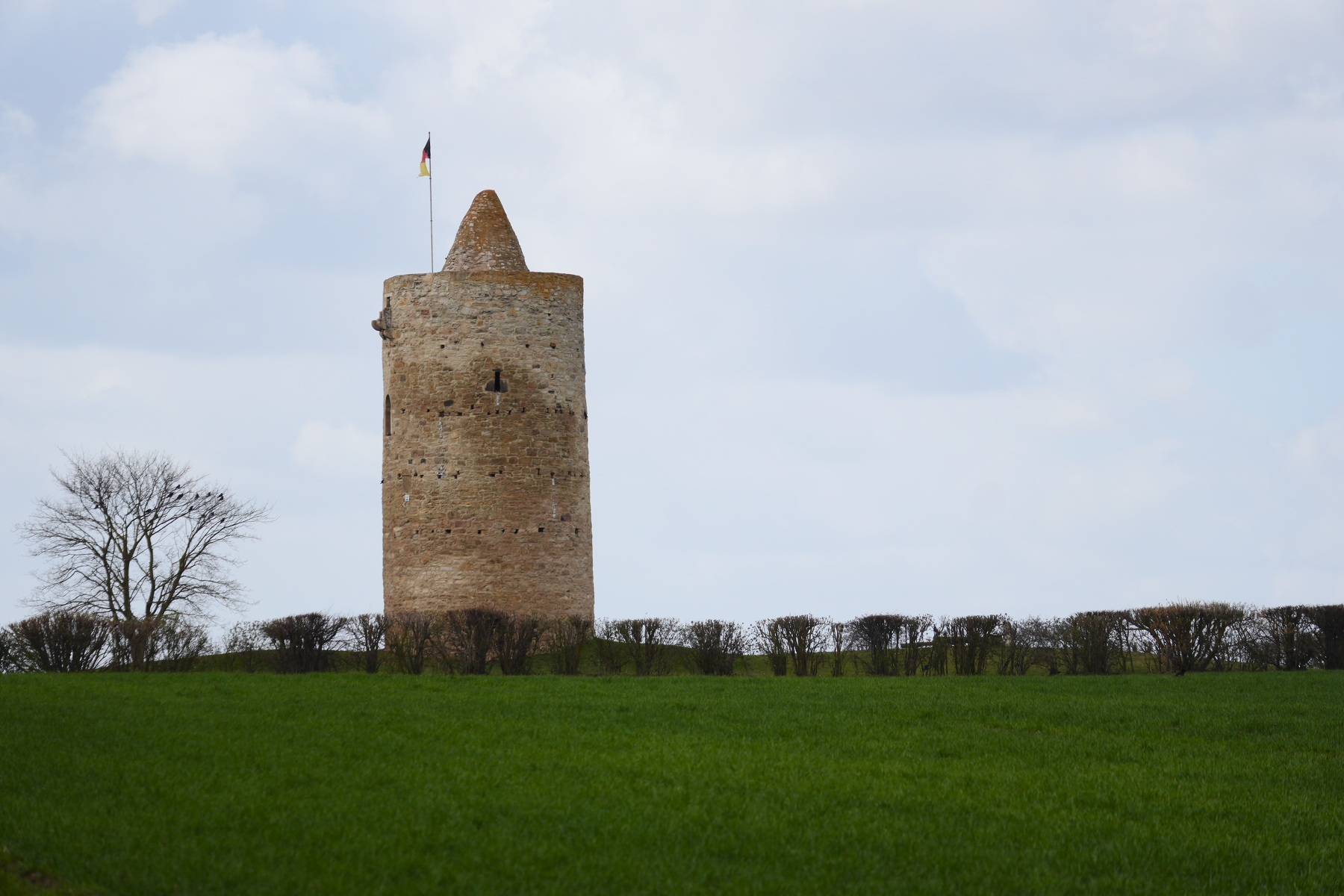

Medieval watchtower, build around 1000 CE by Heinrich I to watch for marauding Hungarians (there was more than the one tower, then)
Eichstädter Warte
A windmill on the way
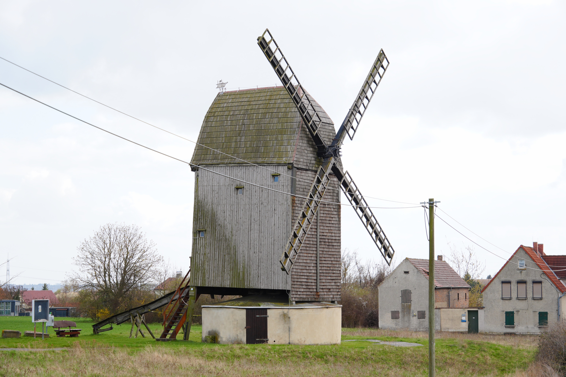
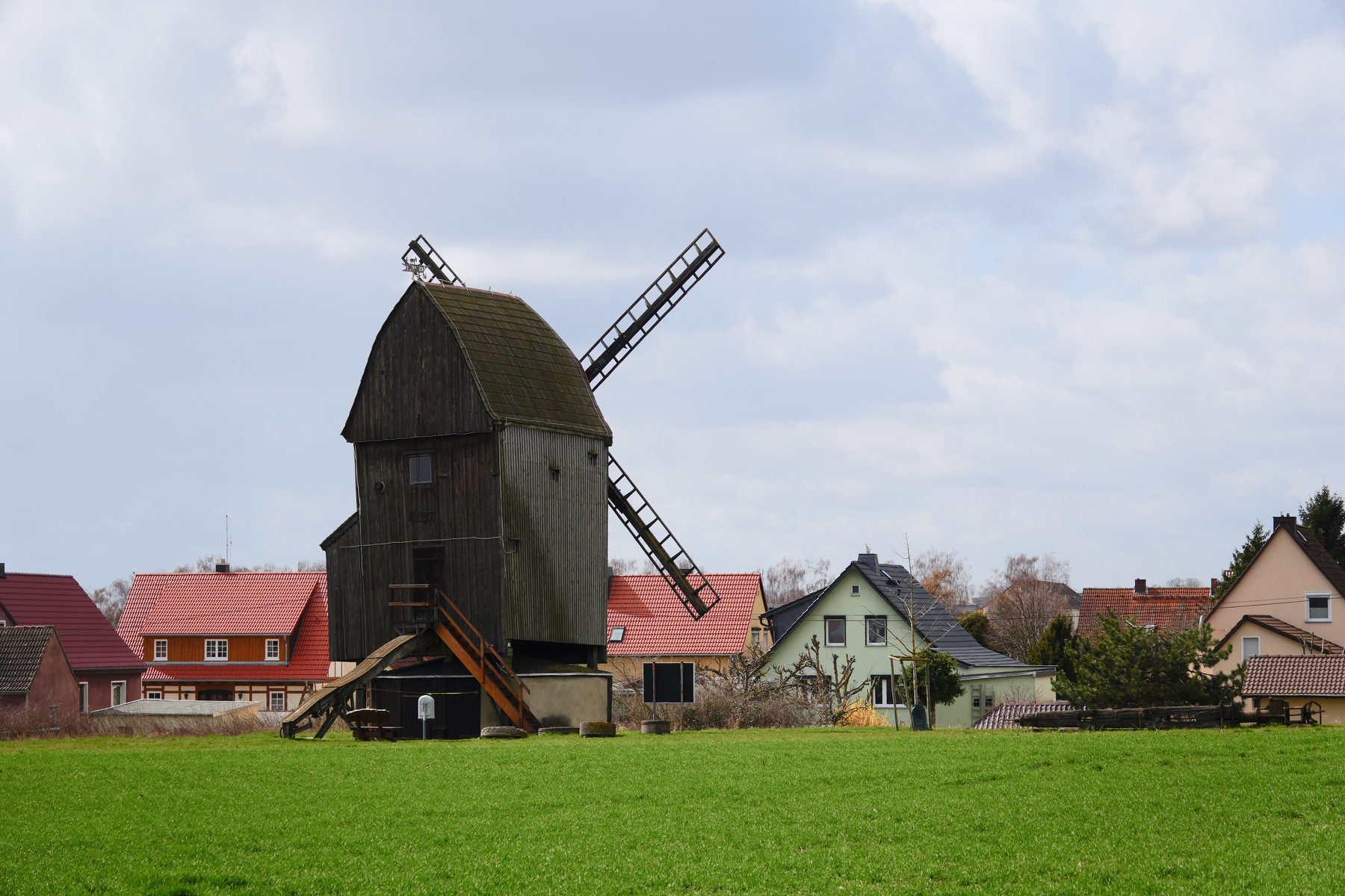
We saw a few mill ruins, mostly Dutch-style mills; this was the only post mill.
Burg Querfurt
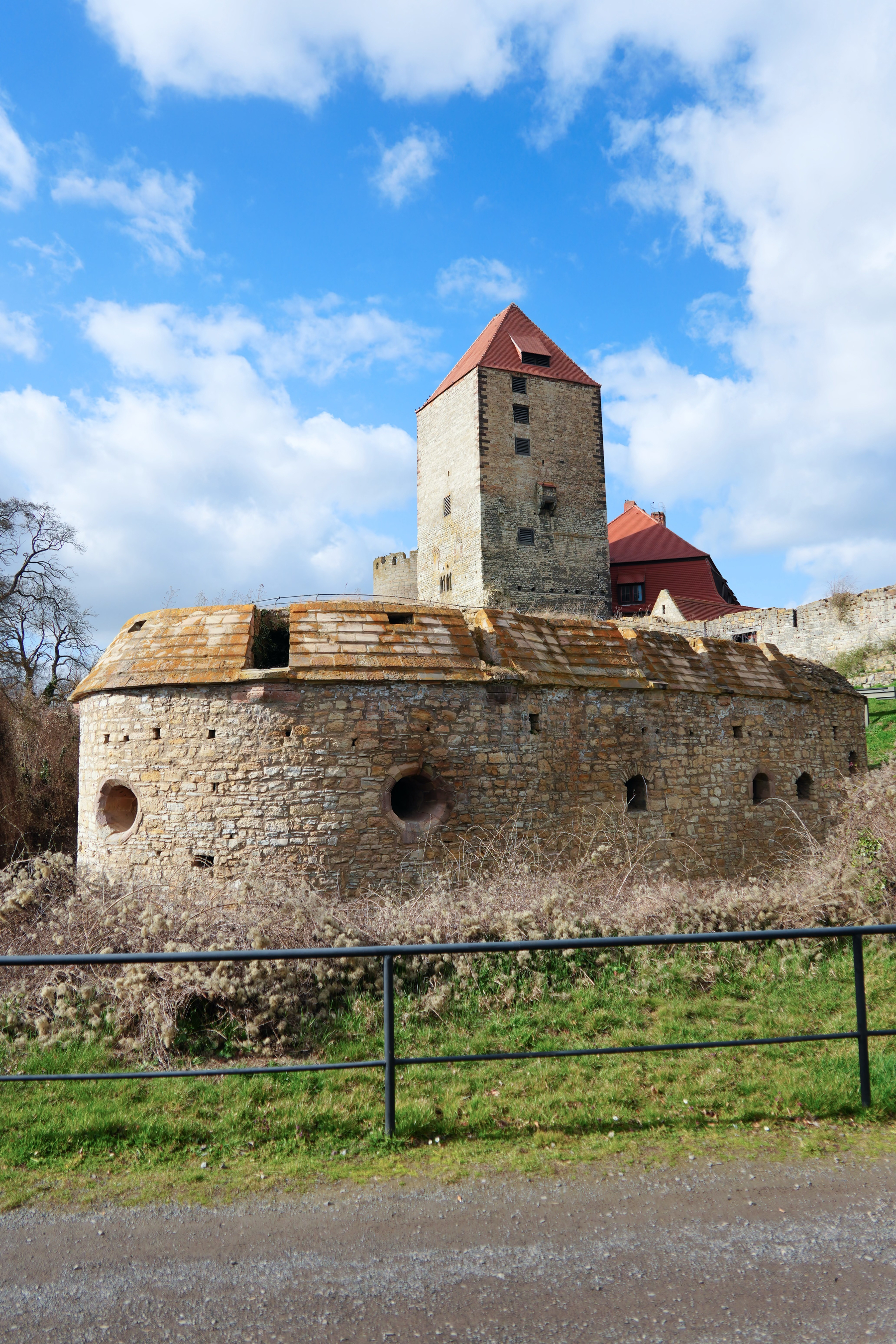
www.burg-querfurt.de/en/
Naumburg
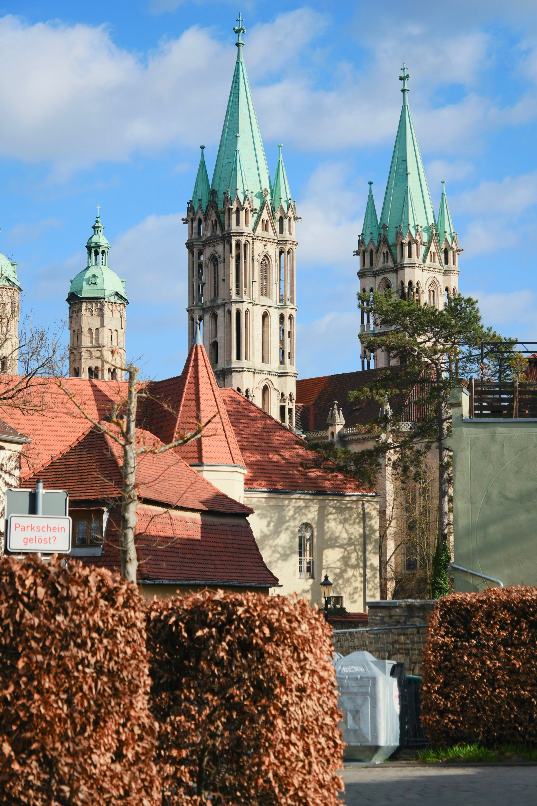
 en.wikipedia.org/wiki/Naum…
Day 6
Bad Lauchstädt
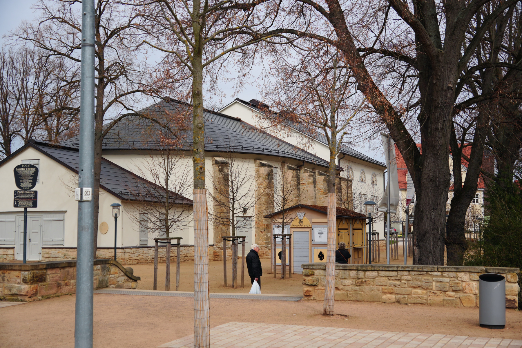
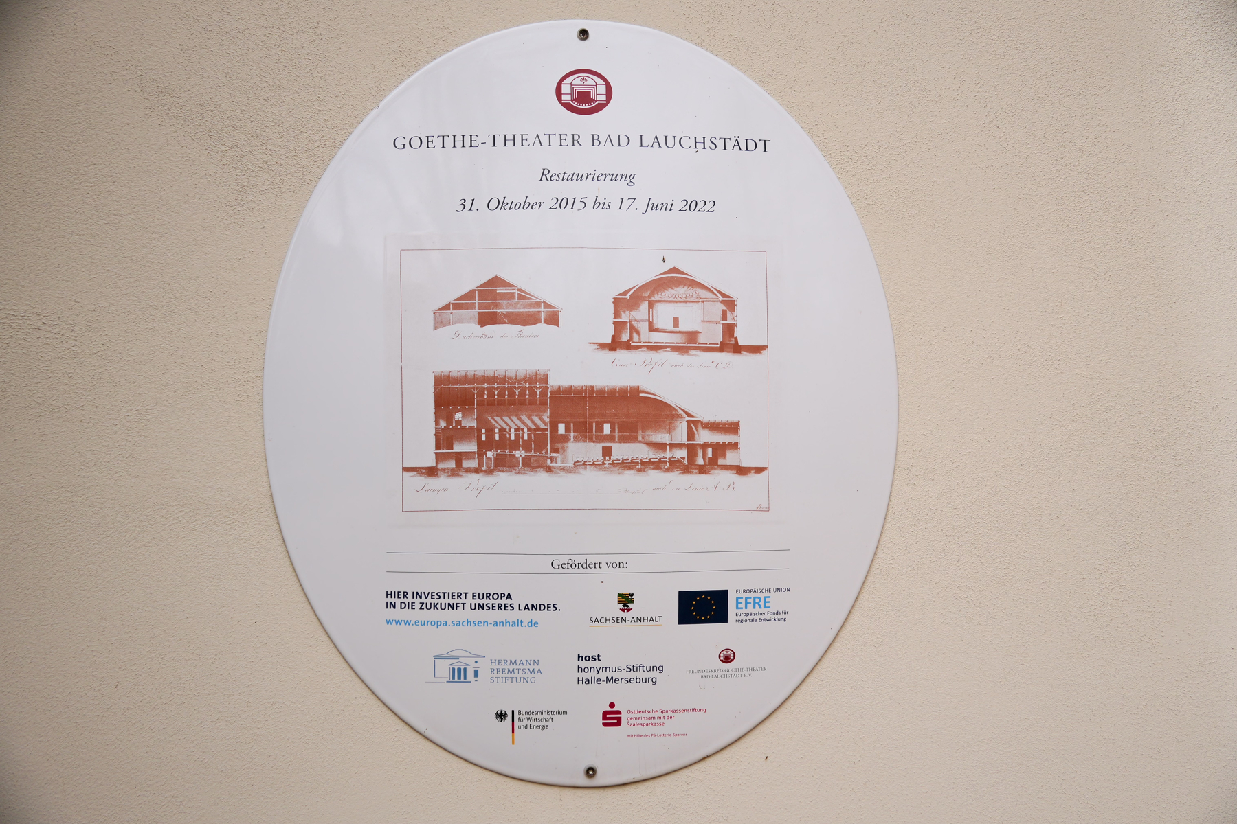
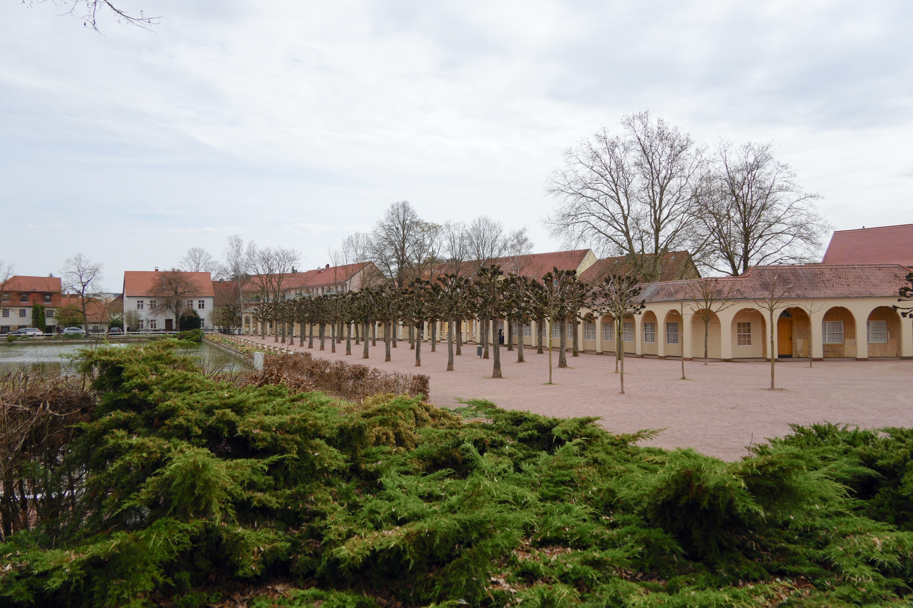
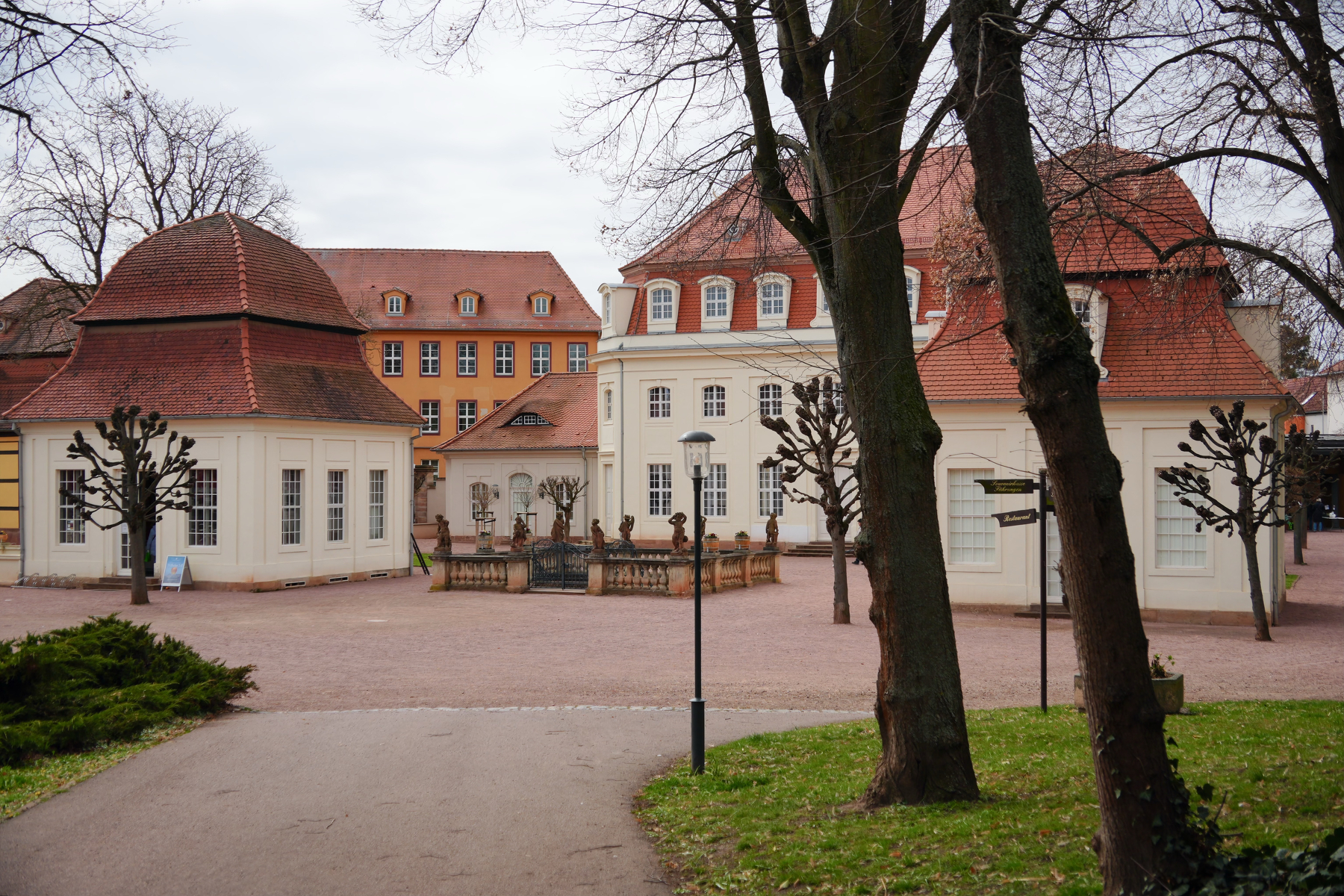
This small spa was the summer holiday location for the court at Weimar, which explains why Goethe was seconded to help design the theater there and got to run it, as one of his jobs was theater director to the court.
Goethe
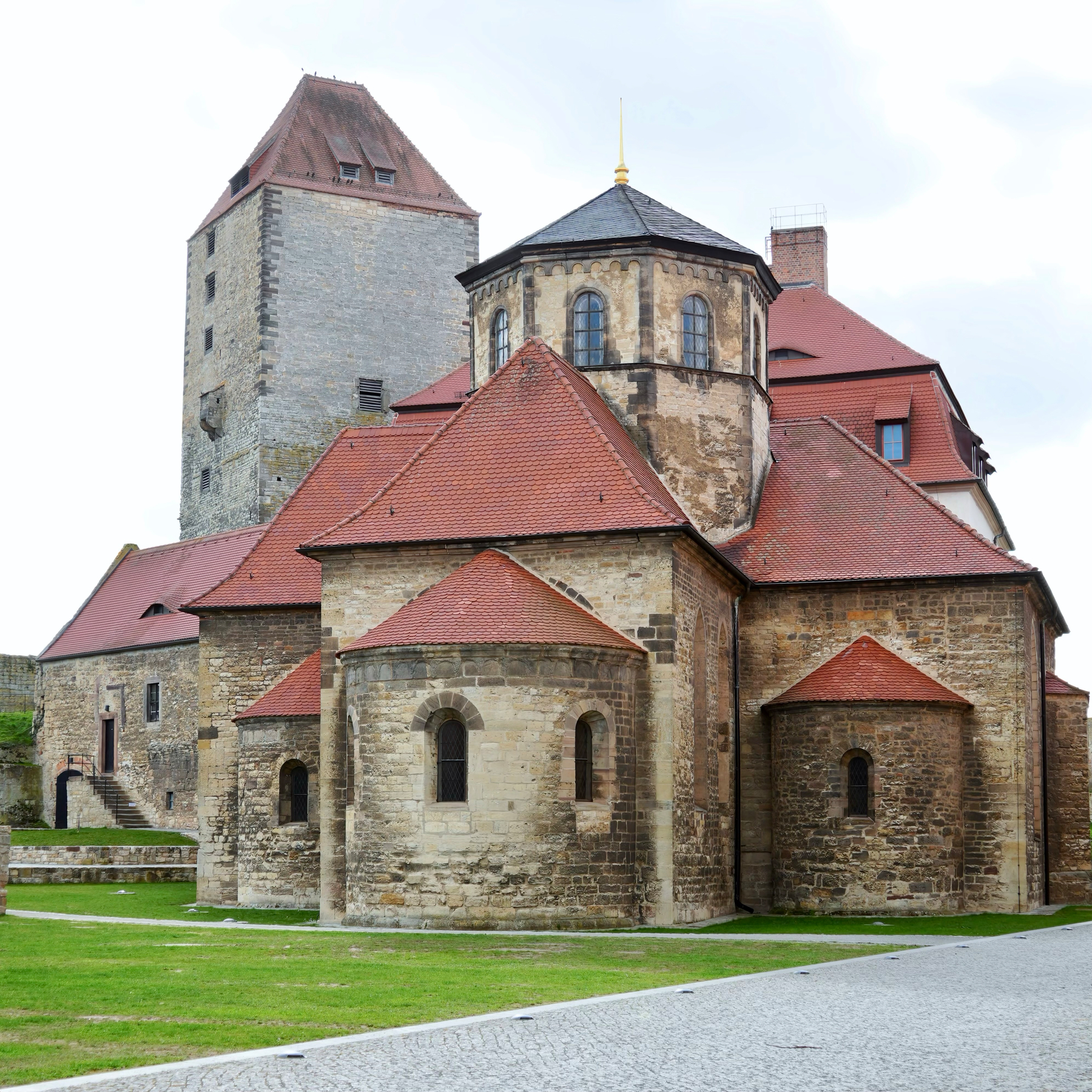
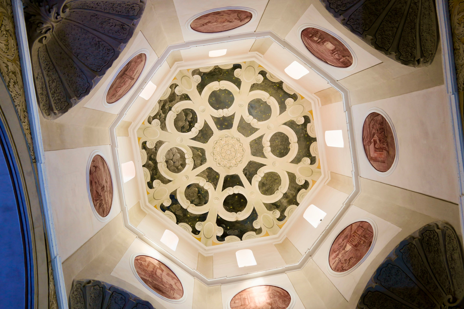
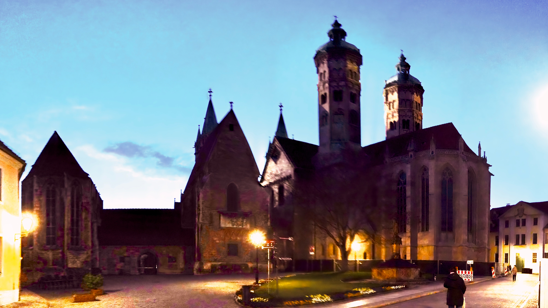
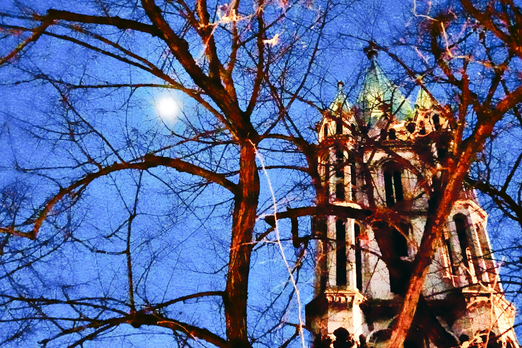
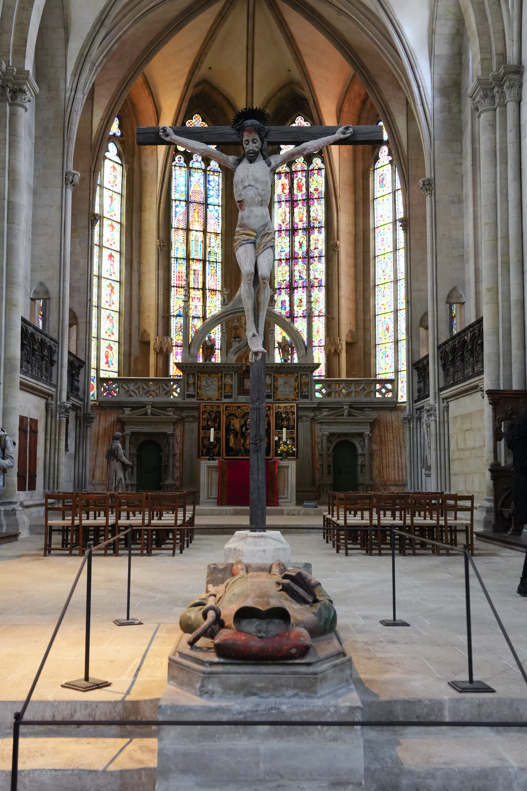
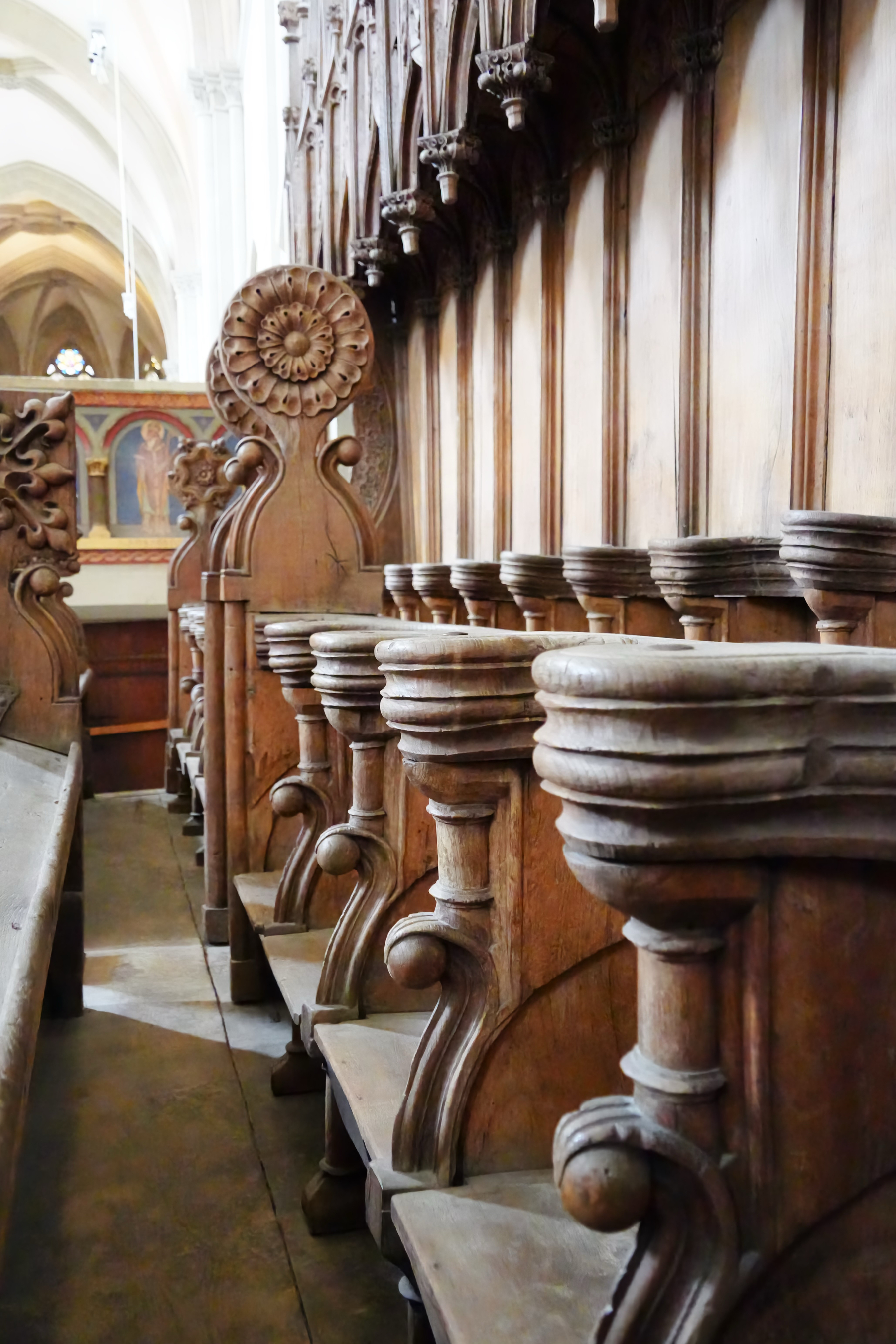
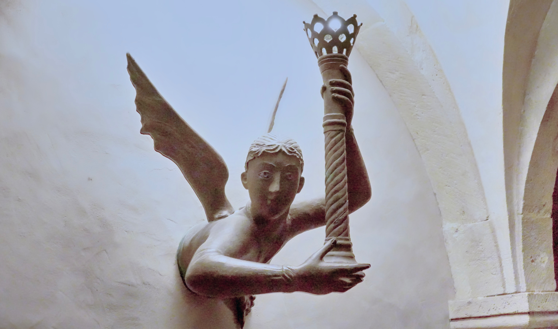
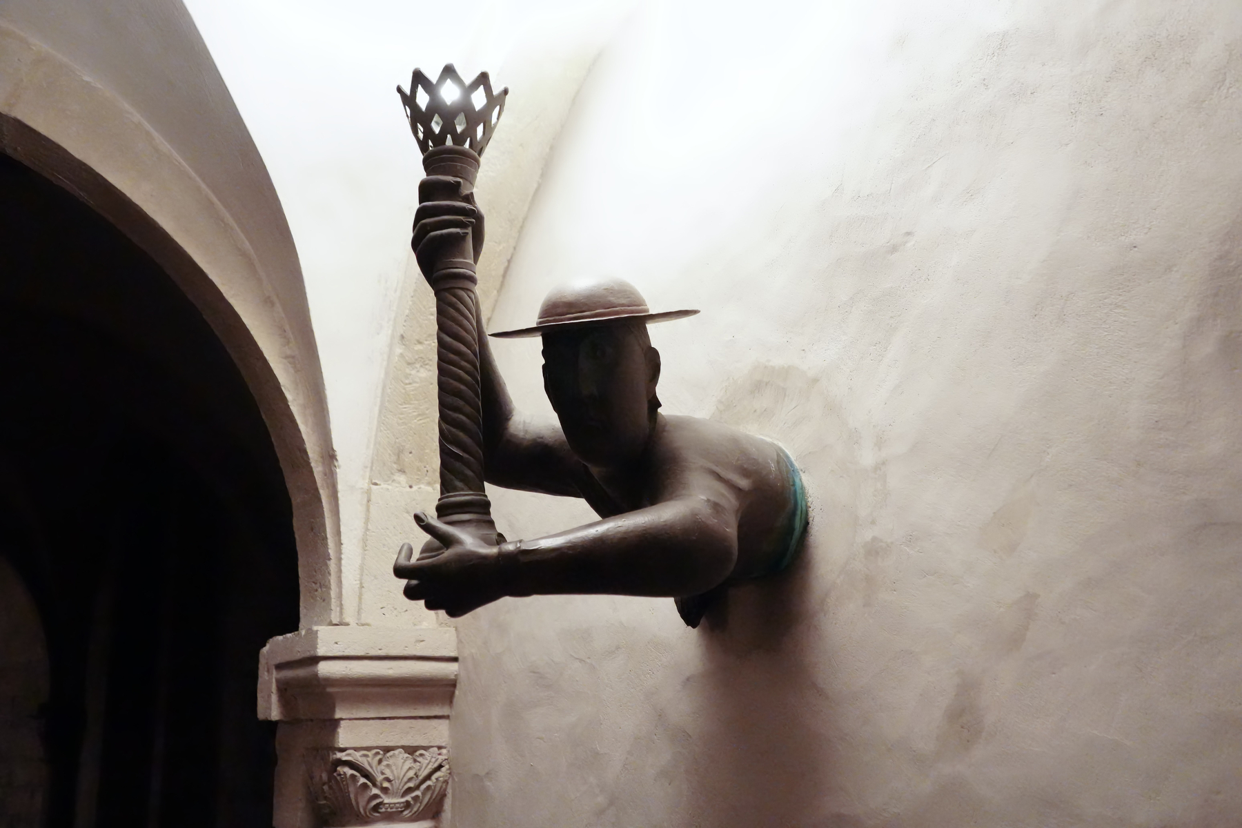
Naumburger Dom
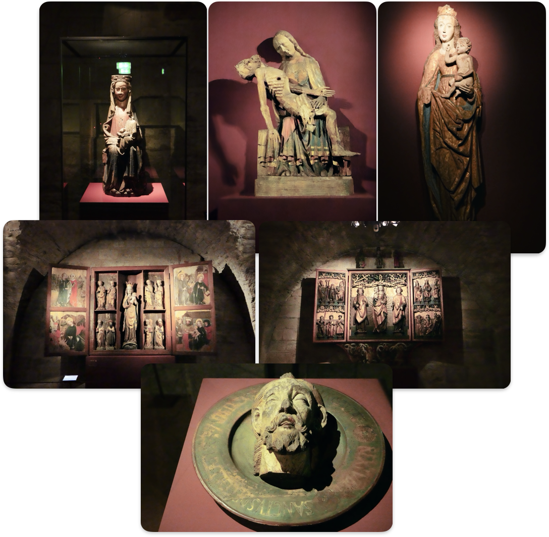
Yesterday we managed to get here just after the cathedral closed. Today we got here in time to an open door for the town. The cathedral was way livelier than I like for photos. One of the things we looked at was the cathedral treasure vault under the cloister.
en.wikipedia.org/wiki/Naum…
West Choir, this includes the famous sculptures of the founders
East Choir
How we liked it
Cycling
Cycling on this trip was challenging. The weather was poor, and cycling infrastructure in the area is minimal. Many roads are cobblestone with no dedicated cycling paths, making for an uncomfortable ride—especially uphill.
We cycled through Merseburg, where our hotel was located, and rode through Halle with our bikes, though we drove there by car. Our visit to the Dolmengöttin was entirely by bicycle; on other days, we used the car.
Next time, we would leave the bicycles at home, not least because the bike rack increases fuel consumption.
Thoughts and conclusions
Today’s Sachsen-Anhalt (the bits we covered)
As a tourist, you can feel a bit unwelcome—not due to the locals, but because of the infrastructure. Finding something to drink, eat, or a place to sit can be difficult. Presumably, this is because the tourist season only starts in April; we may have been too early.
Many places to eat serve only kebab, which can become monotonous.
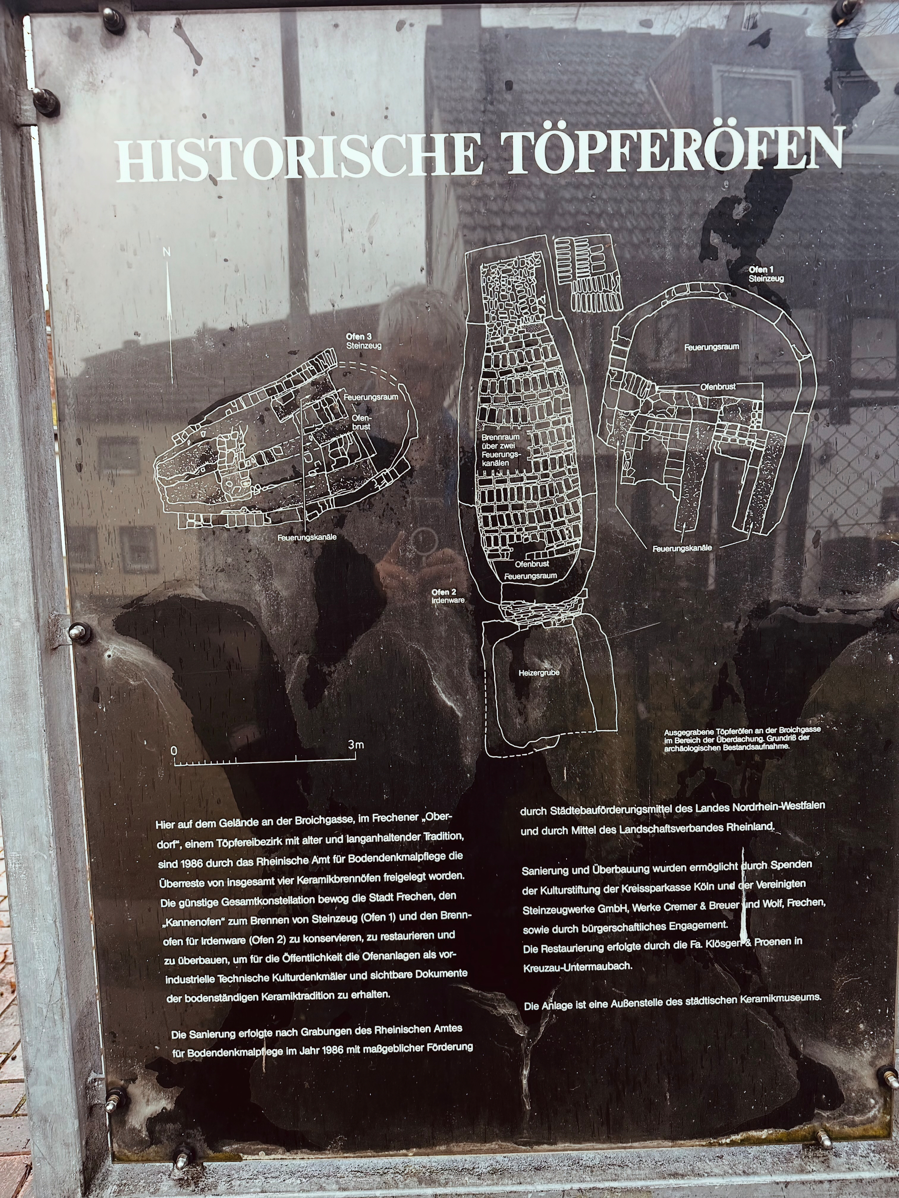
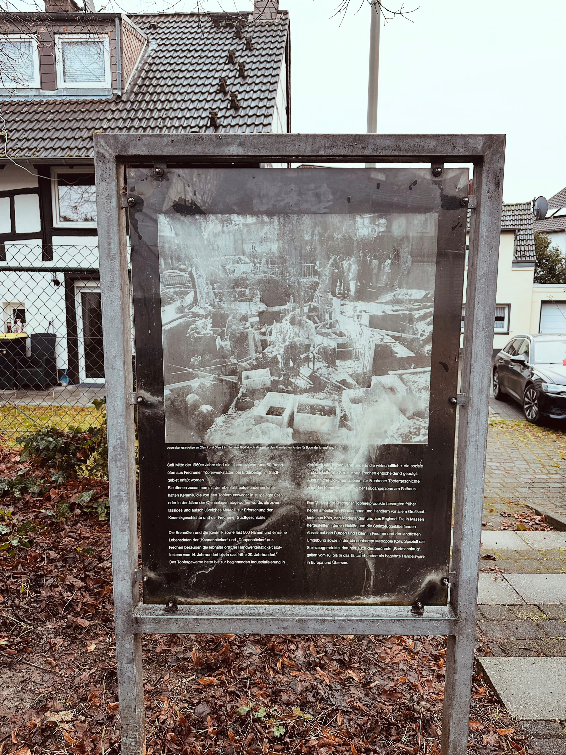
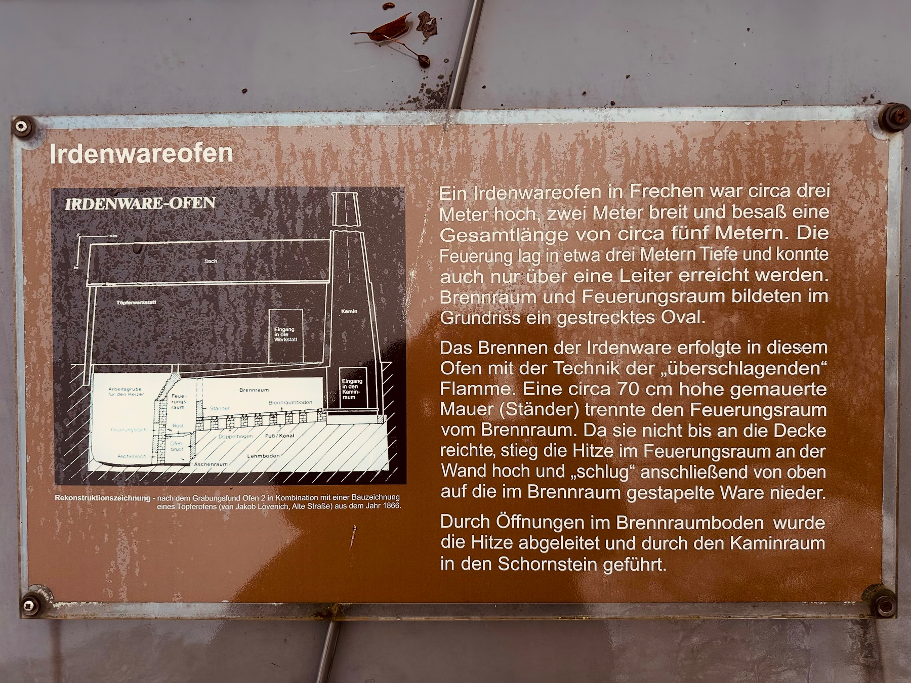
There are many well-preserved historic sites, but locating them can be tricky. We did not find a single source listing all of them.
The Neolithic finds are well-documented and linked on himmelswege.de, though addresses are sometimes missing.
Other sites—such as Naumburg Cathedral, Bad Dürrenberg Saltworks, Goethe Theater Bad Lauchstedt, and Burg Querfurt—are all impressive, but you need to know they exist.
Neolithic Sachsen-Anhalt
We focused mainly on the area south of the Elbe, west of the Saale, and north of the Unstrut. This region was significant in Neolithic times, with at least three major wooden henges discovered so far.
The Sonnenobservatorium Goseck, dating to around 5000 BCE, is the oldest known sun observatory in the world. It has been reconstructed and can be visited for free. Its simplicity belies its sophisticated purpose, which connects it to the Nebra Sky Disk.
There may be an older observatory somewhere, but locating it will be difficult, as only discolored postholes would remain.
Schönebeck (ca. 2150 BCE) was excavated and then reburied; it cannot be visited. While it is the youngest of the henges, its complexity lies between Goseck and Pömmelte.
Schönebeck
Nearby is the Ringheiligtum Pömmelte (ca. 2800 BCE), which has been reconstructed with a shop, additional information, and amenities like coffee and toilets.
This grand structure features round concrete blocks with information about sacrificial remains. It was not merely a religious site; evidence suggests it was used as a meeting point for a large area, with people coming from both sides of the Elbe. Some burials were also found here.
The other burials—the Dolmen of the Dolmengöttin and the burial of Bad Dürrenberg—are less impactful for visitors.
This leaves the Nebra Sky Disk. Its purpose is linked to the Sonnenobservatorium Goseck. Visiting the Arche Nebra and the Landesmuseum für Vorgeschichte in Halle provides extensive information about the disk. Either, or preferably both, is worth seeing.
Videos on the Landesmuseum site (German)
Overall
A cool trip. Next time don’t bring the bikes. Go a little bit later in the year when it is warmer and provision your day trips.